Advanced search Advanced search
342

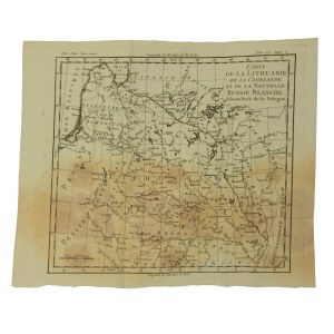
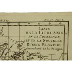
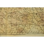
Lithuania, Courland and Belarus, 18th/19th century map

add Your note 
Lot description Show orginal version

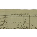
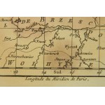
Carte de la Prusse, de la Lithuanie de la Courlande et de la Nouvelle Russie Blanche. Card from a French atlas of the 18th/19th century showing the territories of Lithuania, Courland and Belarus. Map on handmade paper. Dimensions 31 x 26 cm. Traces of flooding about the bottom of the card. Lower margin with losses. Folded paper.

Auction
9 Auction - Military documents and prints, piłsudczana and patriotic raffles and postcards.
gavel
Date
15 October 2022 CEST/Warsaw
date_range
Start price
21 EUR
Hammer price
no offers
Item is not available any more
Views: 38 | Favourites: 0
Auction

Dom Aukcyjny Art Magnat

9 Auction - Military documents and prints, piłsudczana and patriotic raffles and postcards.
Date
15 October 2022 CEST/Warsaw
Lots bidding

All lots are listed to bid

Buyer's premium
15.00%
OneBid does not charge additional fees for the bidding.
Bid increments
  1
  > 10
  200
  > 20
  500
  > 50
  1 000
  > 100
  2 000
  > 200
  10 000
  > 500
  30 000
  > 1 000
 
Terms and Conditions
About the Auction
FAQ
About the Seller
Dom Aukcyjny Art Magnat
Contact
Art Magnat Robert Szczygielski
room
ul. Ładna 12
05-074 Długa Kościelna
phone
+48691666727
keyboard_arrow_up