


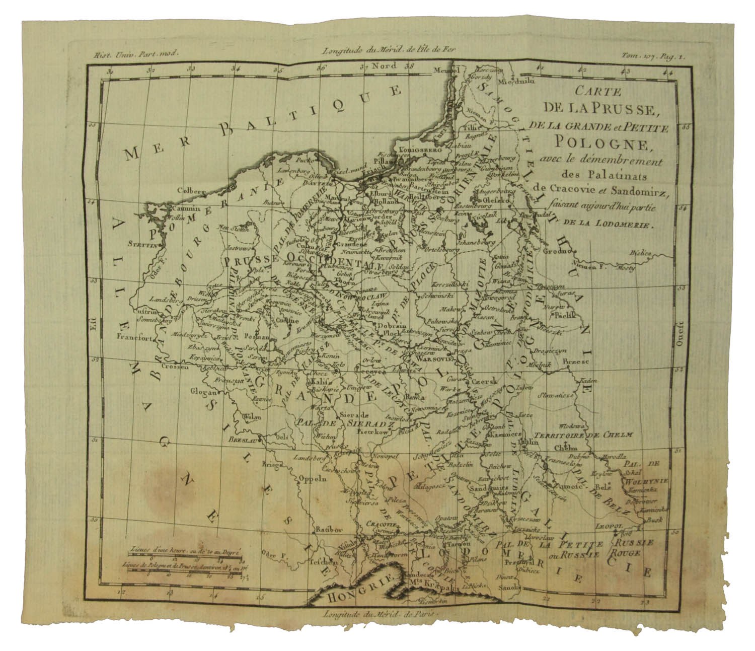
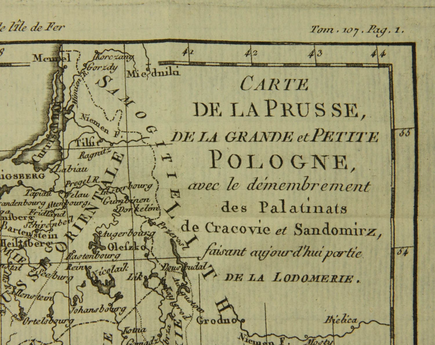
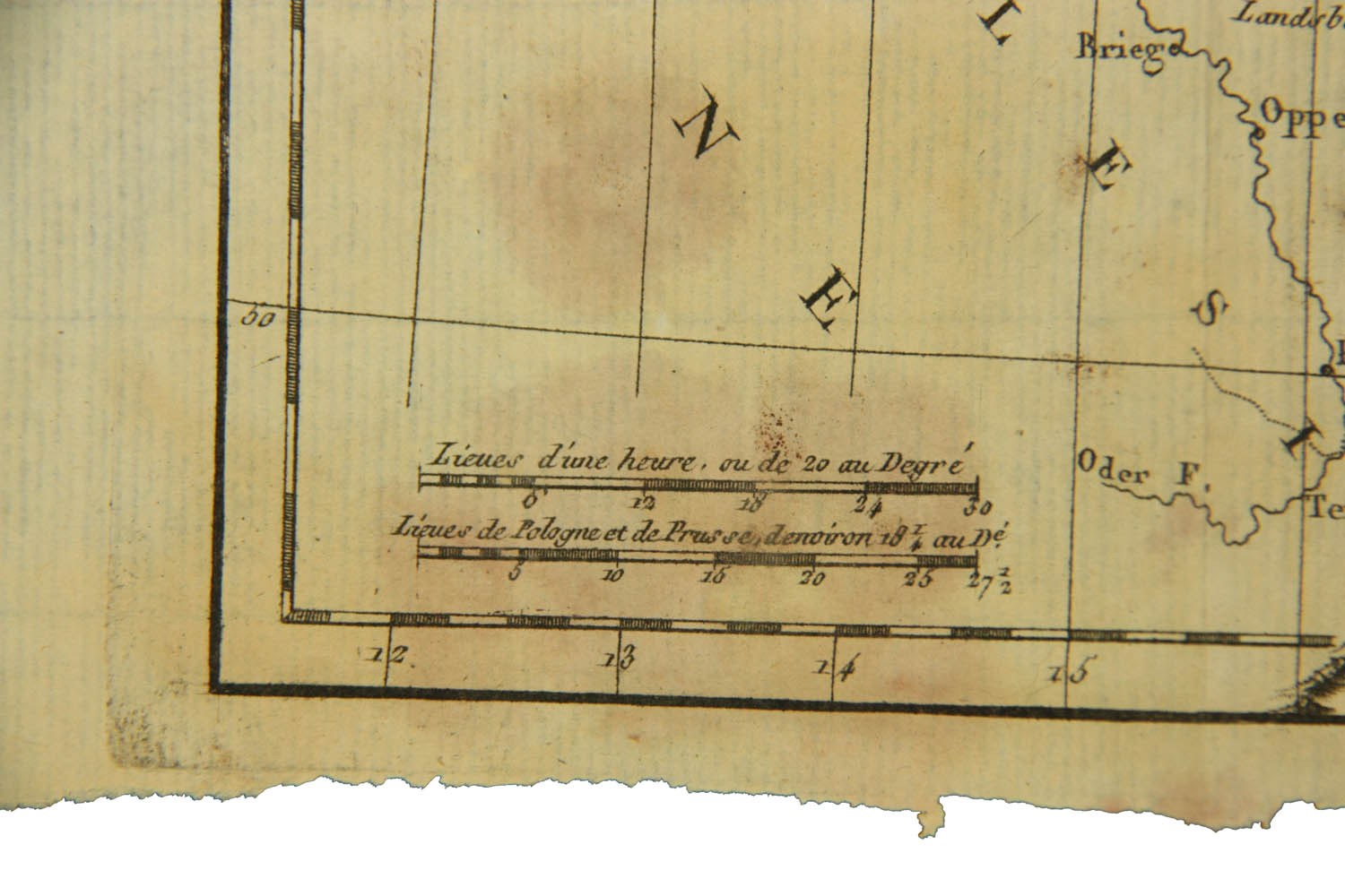
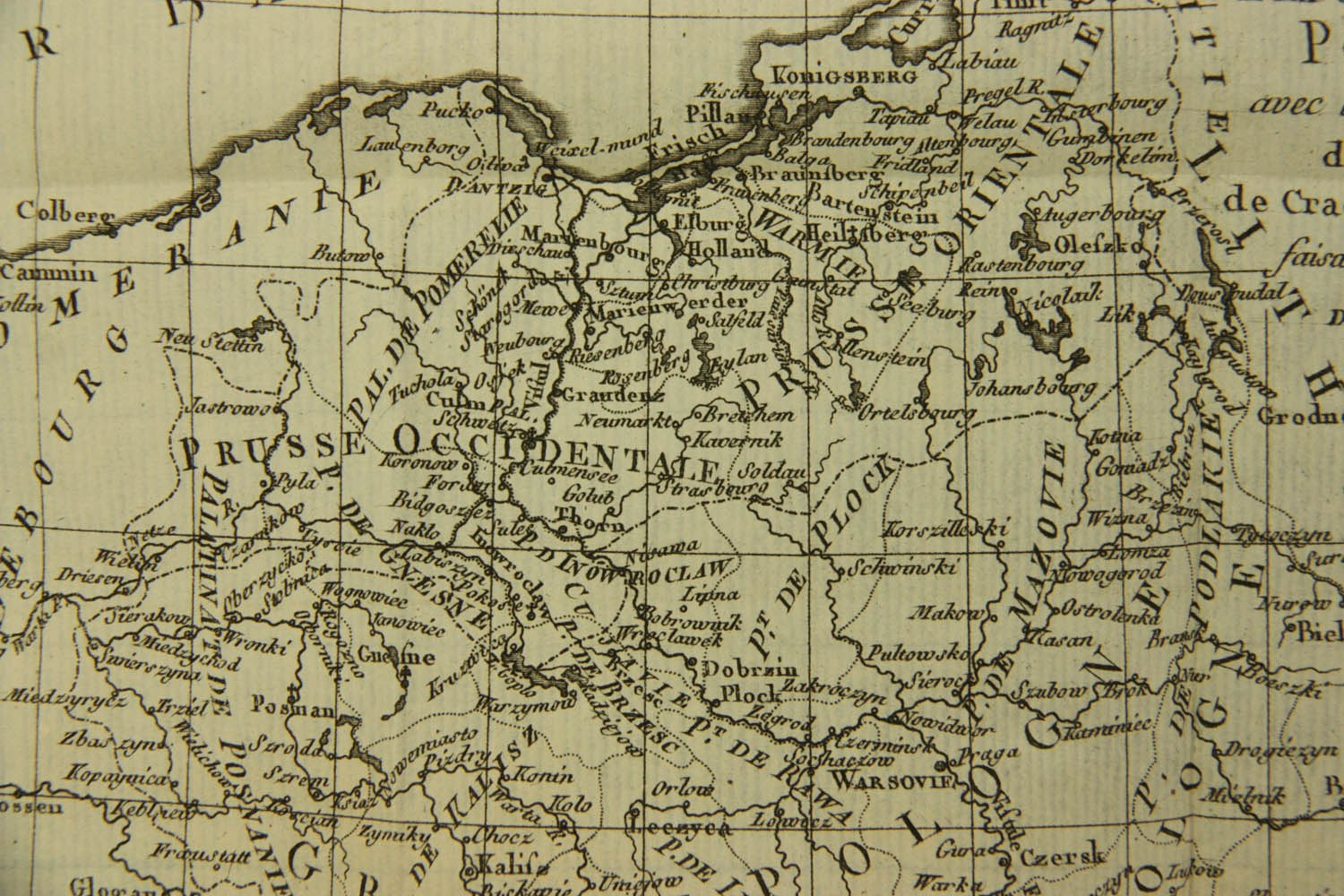
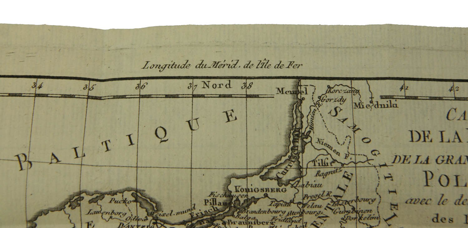
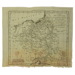
Carte de la Prusse, de la Grande et Petite Pologne. Card from a French atlas of the 18th/19th century showing the territory of Poland from Prussia to Red Ruthenia. Map on handmade paper. Dimensions 31 x 26 cm. Traces of flooding about the bottom of the card. Lower margin with losses. Folded paper.


![Poland car map. Cracow [1945].](https://img1.one.bid/img/6508/1873705_1x.webp?1713823200)
![Poland car map. Cracow [1945].](https://img1.one.bid/img/6508/1873705_2x.webp?1713823200)


![[MAP]. MAP OF POLAND 1 : 500 000. OLSZTYN. [Sheet ] 3. w-wa 1947....](https://img1.one.bid/img/6363/1859794_1x.webp?1713045600)


Recently viewed
Please log in to see lots list
Favourites
Please log in to see lots list