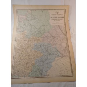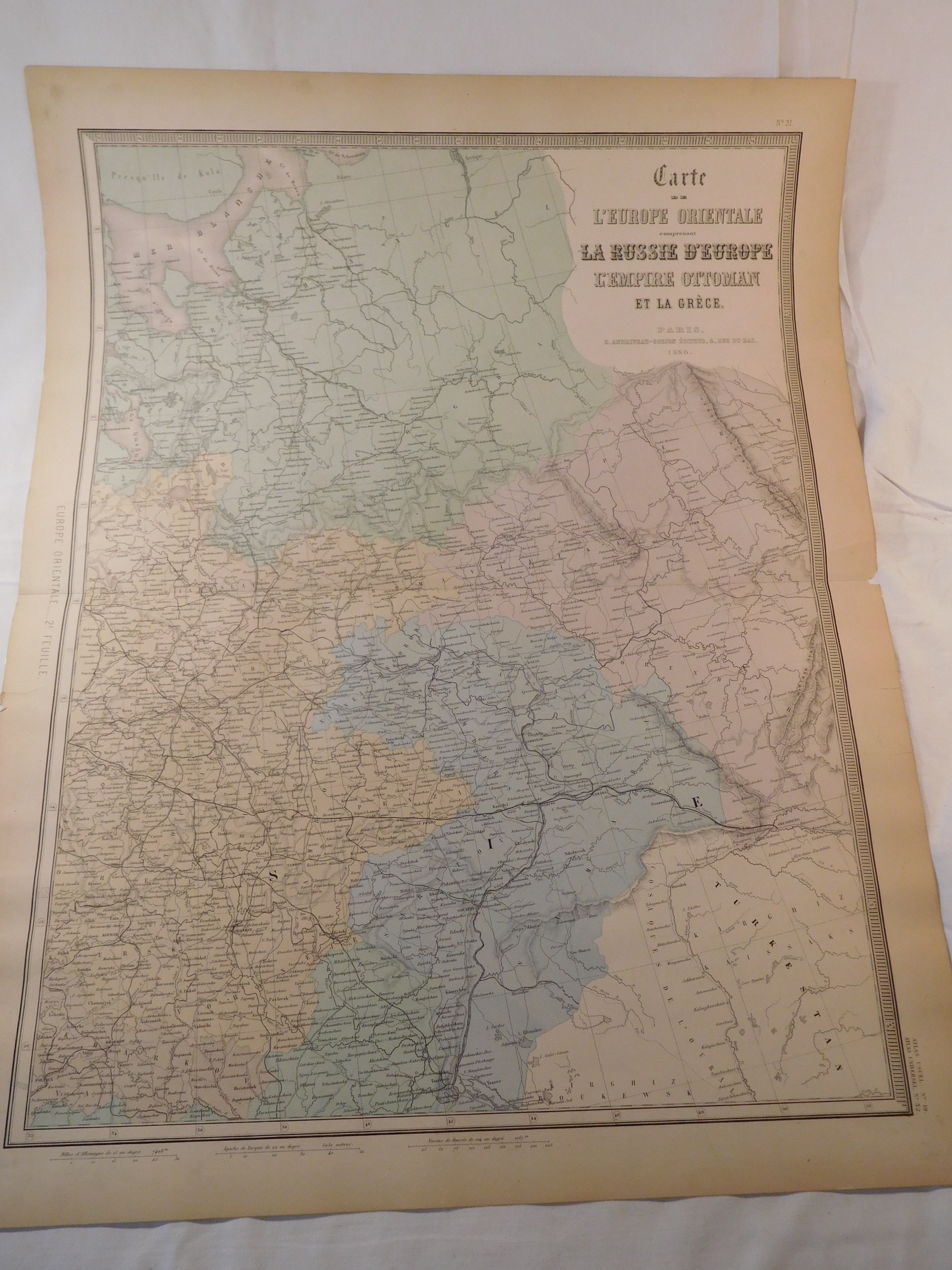
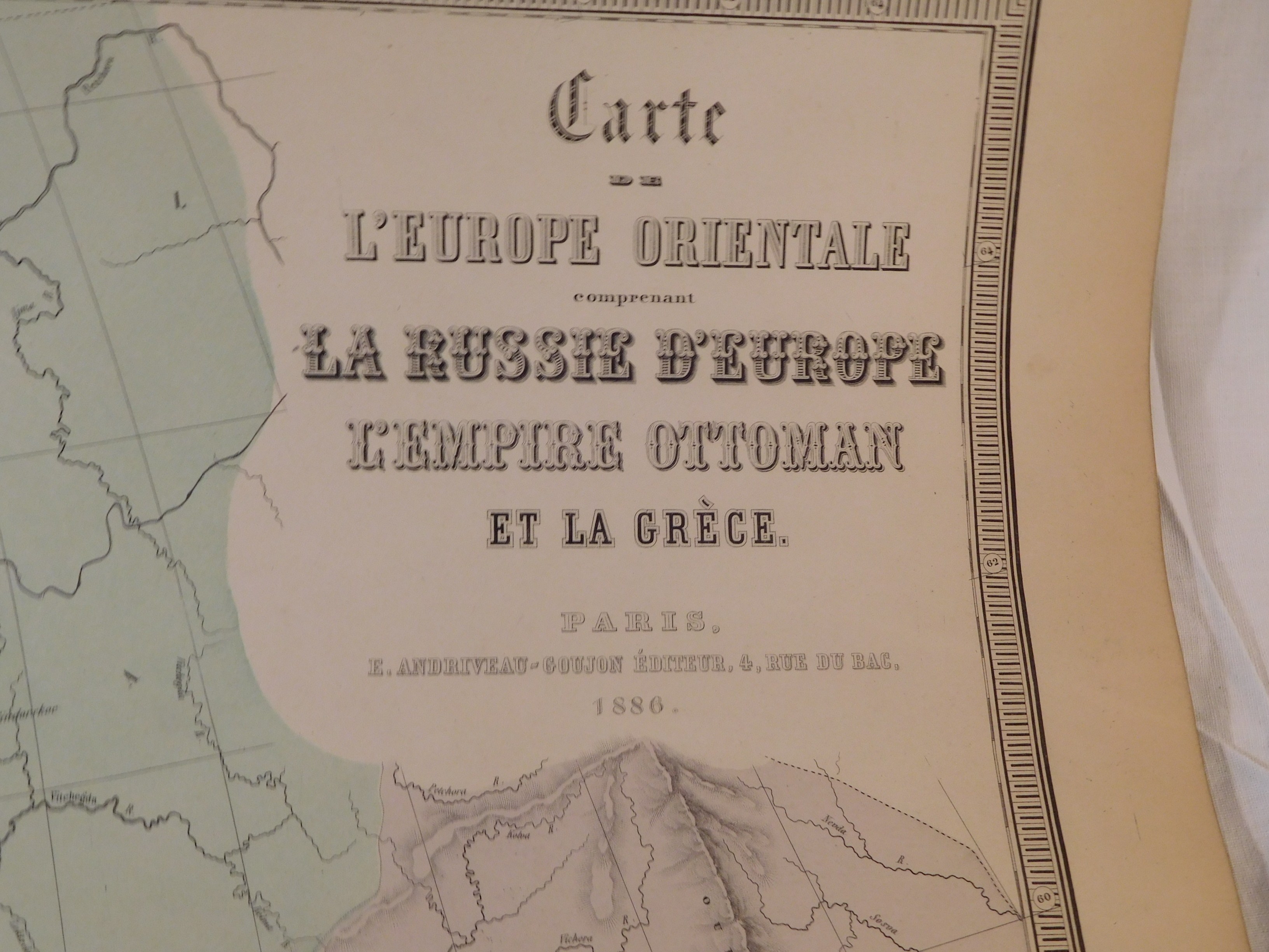
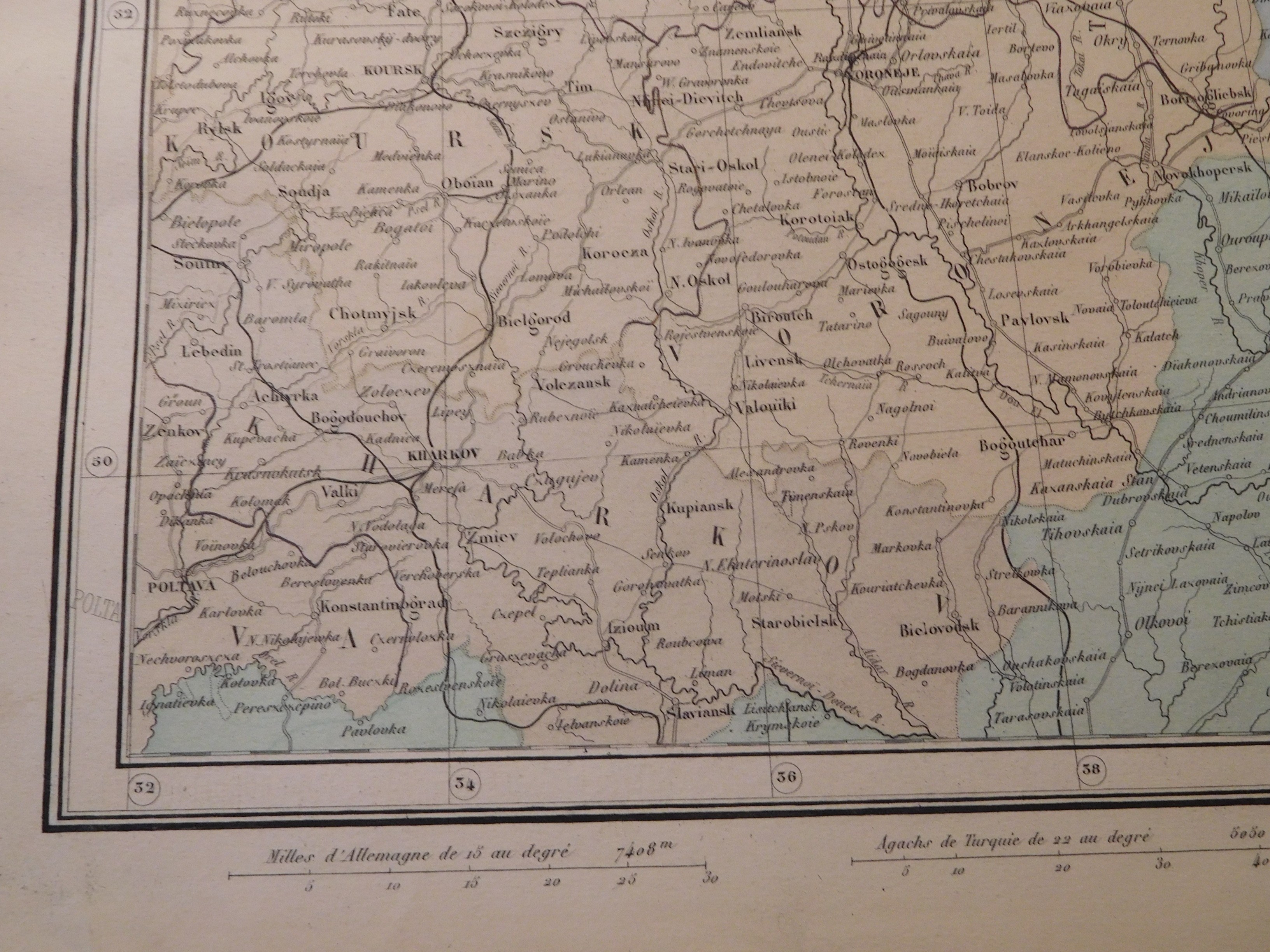
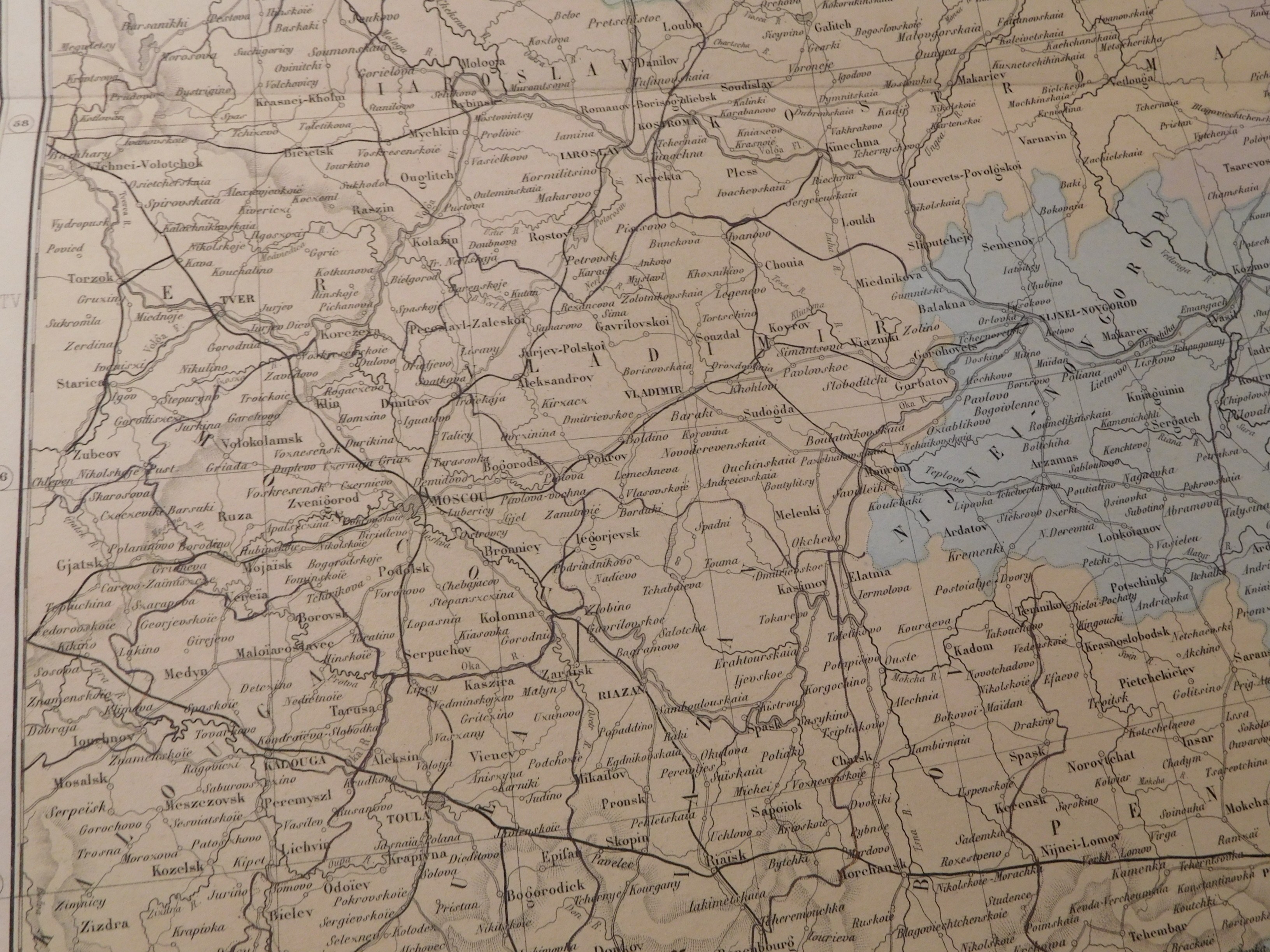
39. ANDRIVEAU-GOUJON EUGENE, CARTE DE L'EUROPE ORIENTALE(...) RUSSIE D'EUROPE, L'EMPIRE OTTOMAN ET LA GRECE.
Paris 1886, Eugène Andriveau-Goujon, eng. Eugène Andriveau-Goujon (?), 46.5 x 62 cm; (card: 52.5 x 69.5 cm).
Period-colored map of European Russia, sheet 2. It covers the area from the Kola Peninsula and the White Sea in the north to Slavyansk in the south, and Kyrgyzstan in the southeast.
Piece moderately well-preserved, clear colors, stains in margins and creases in margins; also a few tear marks, the largest in upper margin about 6 cm; map folded in half; otherwise flawless.


![Dahlberg Erik Jonsson [Puffendorf] - Dyneburg.](https://img1.one.bid/img/5856/1830362_1x.webp?1712095200)


![Dahlberg Erik Jonsson [Puffendorf] - Urbis et Arx Mitovia. .. Dobbleena Arx Cellciss. Curlandiae](https://img1.one.bid/img/5856/1830363_1x.webp?1712095200)


![[Térkép.] Magyarország gyógyhelyei és ásványvizeinek térképe. Tervezte Chyzer Kornél. Rajzolta Homolka József. 1886. ...](https://img1.one.bid/img/6570/1844247_1x.webp?1712700000)
![[Térkép.] Magyarország gyógyhelyei és ásványvizeinek térképe. Tervezte Chyzer Kornél. Rajzolta Homolka József. 1886. ...](https://img1.one.bid/img/6570/1844247_2x.webp?1712700000)