


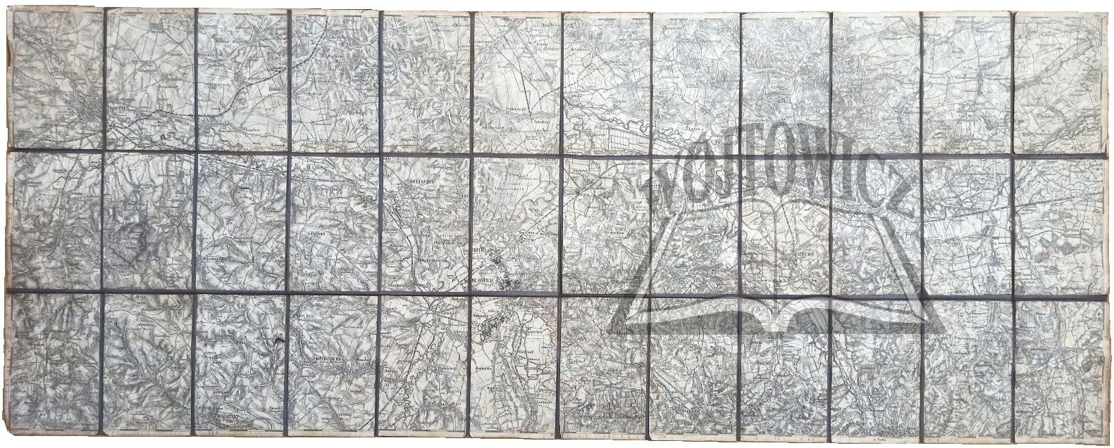
(CZECHY).
Map pasted on canvas, scale 1 : 75 000. inland nach Aufnahme 1876. nachtr. 10. VI. 1907 (No place of issue) 1907. K. u. K. Militärgeographisches Institut. Dimensions: 39 x 100 cm.
Browning, abrasions, no. traces of moisture. Map showing the border part of Bohemia and Poland, including Opava, Hluczyn, Ostrava and Karvina, Skoczów. 9136/30


Recently viewed
Please log in to see lots list
Favourites
Please log in to see lots list