


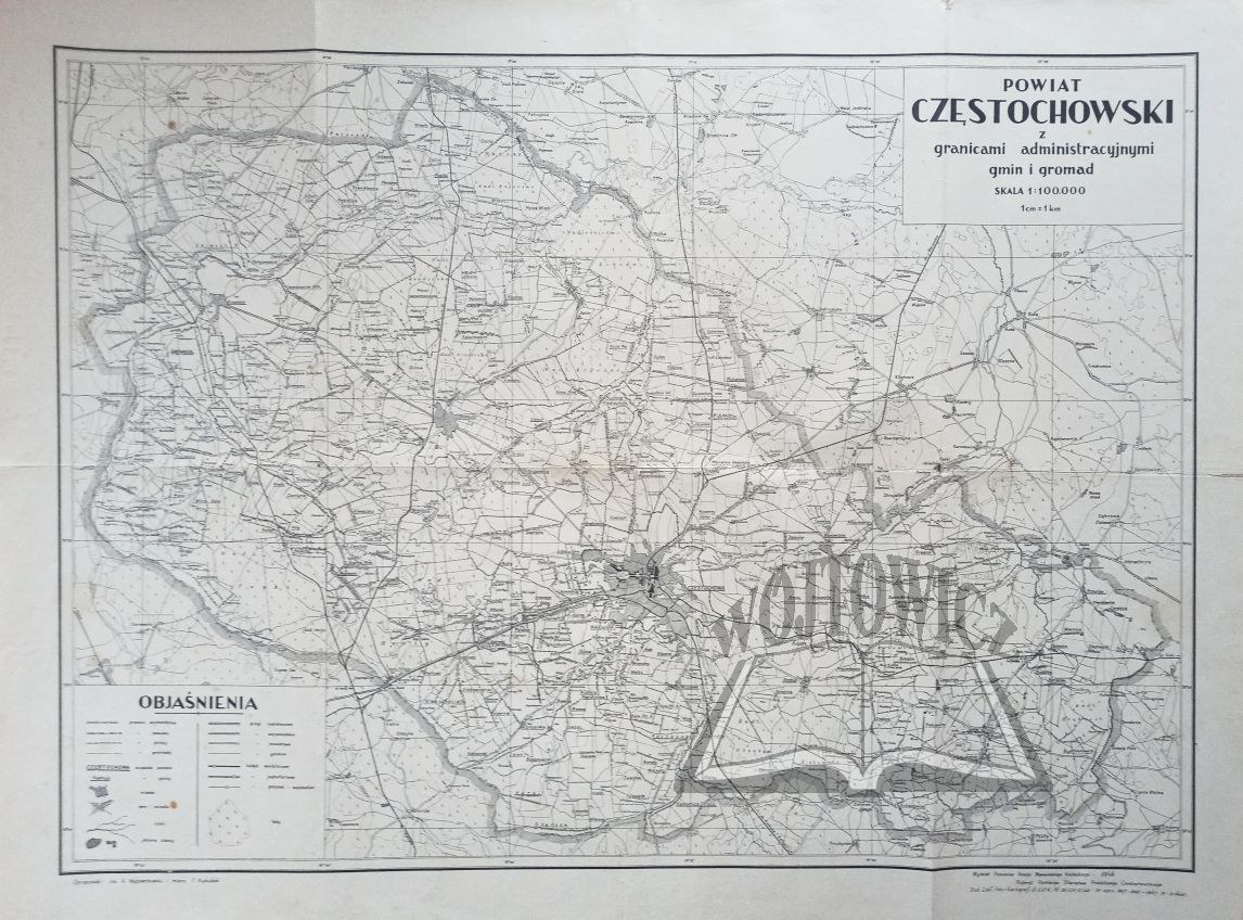
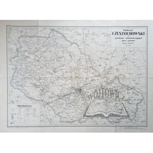
(CZĘSTOCHOWA). Częstochowa district with administrative boundaries of municipalities and communities.
Map, scale 1 : 100 000. opr.: eng. K. Wojciechowski and miern. F. Kukulski. (No place of publication.) 1946. Department of Measurements of the Office of the Kielce Province. Referato Pomiarów Starosty Czestochowski. Dimensions: 60 x 80 cm.
Traces of folding, tear of right edge, uncut and rubbed. 9114/26


Recently viewed
Please log in to see lots list
Favourites
Please log in to see lots list