


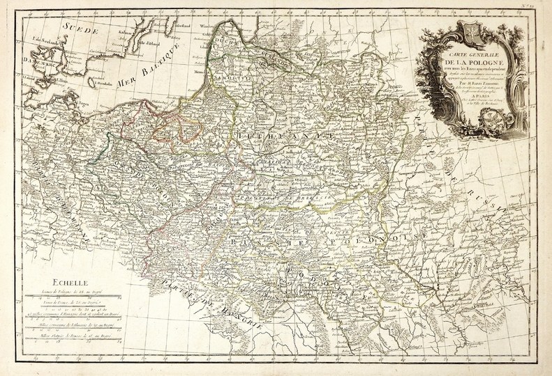
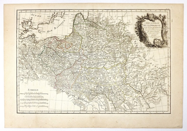
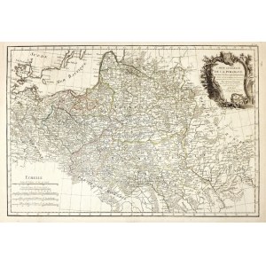
[POLAND]. Carte generale de la Pologne avec tous les Etats qui en dependent dressée sur les meilleurs mémoires et appuyée a plusieurs Observat? Astronom? Colored copperplate form. 30.3x44.5 on ark. 36.3x51.7 cm.
Imago Pol. K58/1. First edition of a map of Poland by Giovanni Antonio Rizzi-Zannoni, published in Paris ca. 1767. Was included in editions of "Atlas moderne ou collection de cartes [...]". Jean Lattré. In the upper right corner above the frame: "No. 19". Decorative title cartouche with Polish and Silesian eagle in upper right corner. In the lower part of the cartouche, publisher's data as follows: "A Paris, Chés Lattré Graveur, rue S-t Jacq? a la Ville de Bordeaux". In the lower left corner, five linear scales. Line color. Verso clean. Reinforced bottom center fold of sheet.


![Poland car map. Cracow [1945].](https://img1.one.bid/img/6508/1873705_1x.webp?1713823200)
![Poland car map. Cracow [1945].](https://img1.one.bid/img/6508/1873705_2x.webp?1713823200)


![[MAP]. MAP OF POLAND 1 : 500 000. OLSZTYN. [Sheet ] 3. w-wa 1947....](https://img1.one.bid/img/6363/1859794_1x.webp?1713045600)


Recently viewed
Please log in to see lots list
Favourites
Please log in to see lots list