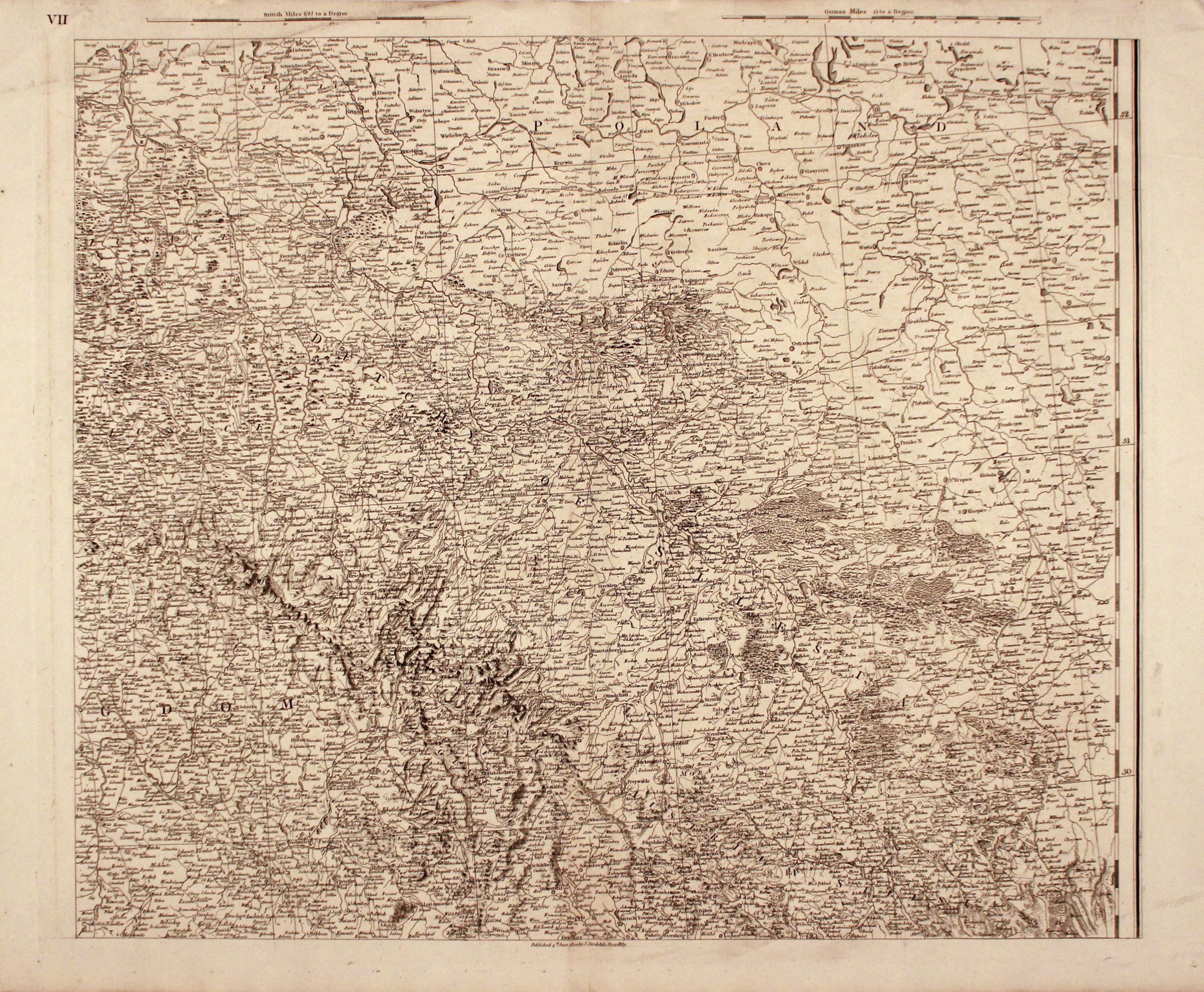
![Dalhberg Erik Jonsson [Puffendorf] - Map of the Kingdom of Denmark and Pomerania (Szczecin)](https://img1.one.bid/img/5856/1829209_1x.webp?1712008800)
![[MAP]. MAP OF POLAND 1 : 500 000. OLSZTYN. [Sheet ] 3. w-wa 1947....](https://img1.one.bid/img/6363/1859794_1x.webp?1713045600)
![Poland car map. Cracow [1945].](https://img1.one.bid/img/6508/1873705_1x.webp?1713823200)
![Poland car map. Cracow [1945].](https://img1.one.bid/img/6508/1873705_2x.webp?1713823200)


Laatst bekeken
Log in om de kavellijst in te zien
Favorieten
Log in om de kavellijst in te zien


Antykwariat Wu-eL
Alle kavels worden geveild
| 1 | |||
| > | 5 | ||
| 50 | |||
| > | 10 | ||
| 200 | |||
| > | 20 | ||
| 500 | |||
| > | 50 | ||
| 2 000 | |||
| > | 100 | ||
| 5 000 | |||
| > | 200 | ||
| 10 000 | |||
| > | 500 | ||
| 50 000 | |||
| > | 1 000 | ||
| ∞ | |||
Naam
303 EUR