


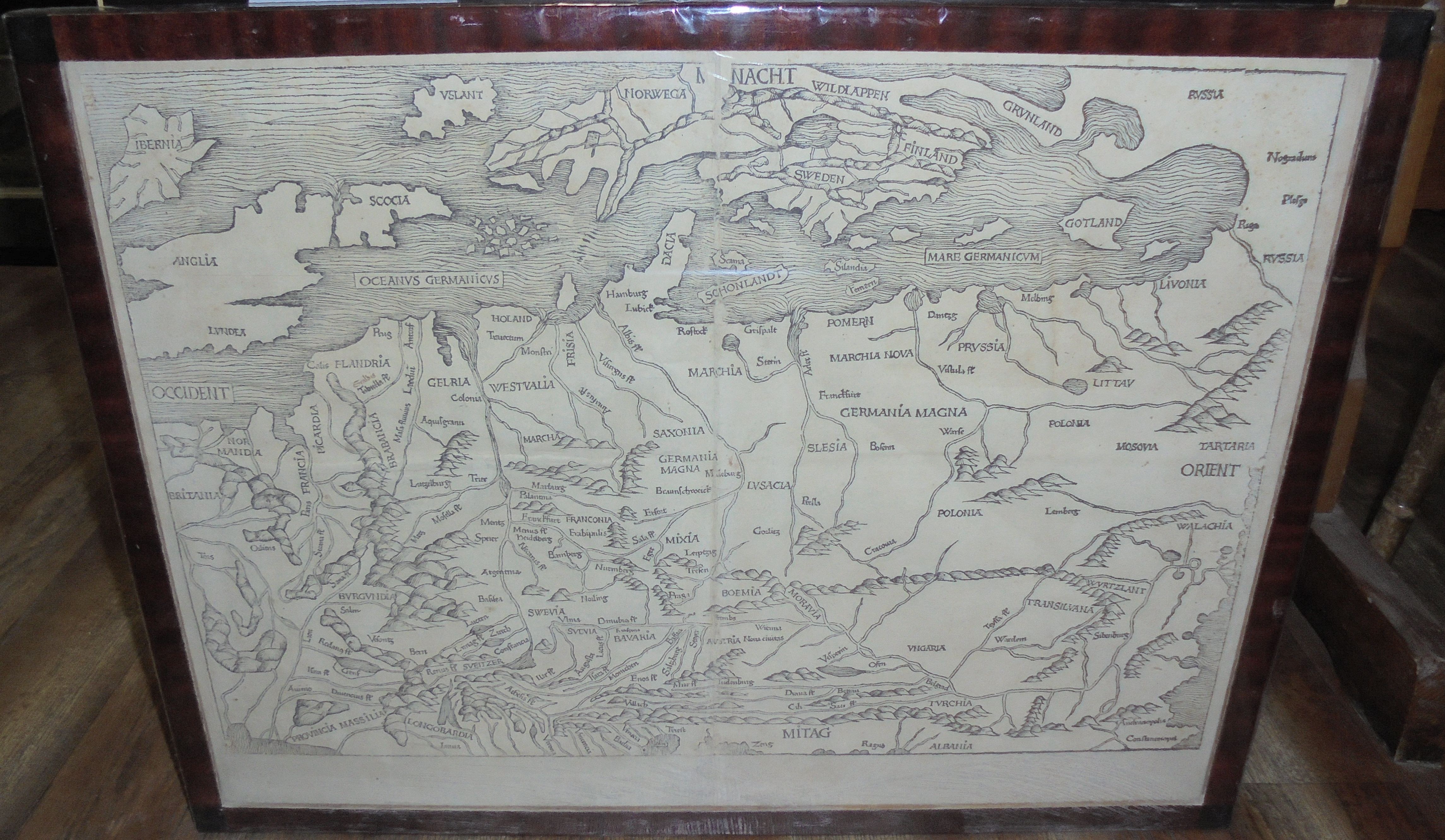


Lacking a title, the map shows areas from western France, to the Black Sea coast and the borderlands of the Grand Duchy of Lithuania and Rus, and from northern Italy to Iceland and Norway.
An original woodcut from the late 15th century, it measures 39 x 57.8 cm. Execution of the print is attributed to Michael Wolgemut.
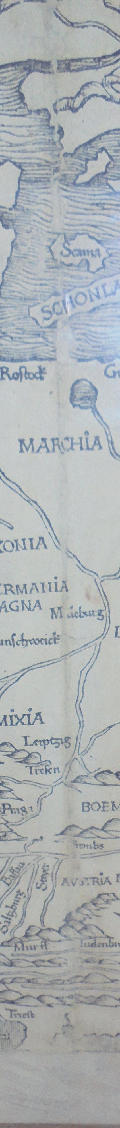
Condition: rubbing, tears and paper loss along the entire fold, a few major creases, soiling, discoloration.
The oldest "modern" (based on current knowledge, not ancient Ptolemy's rules) map appearing on the market showing the central and northern parts of the European continent, including the British Isles and Scandinavia. A manuscript map of Germania by Nicolaus of Cusa (Nicolas Cusanus) from around 1460 (which was published posthumously around 1491) was used as a model.
The map was included in the Latin edition of Hartman Schedel's Nuremberg Chronicle titled "Liber Chronicarum cum figuris et imaginibus ab Inicio Mundi.", published in Nuremberg by Anton Koberger in 1493 (or a reissue). It was the first such mass-printed illustrated book, and contained a huge number of illustrations for the time - 1809 woodcuts reflected from 645 woodblocks. The book became a bestseller at the time, and more pieces were printed in the following years (2 language versions, German Latin, dated 1493 and 1497), and it also lived to see "pirated" reduced editions, published until the early 16th in Augsburg by Johann Schönsperger.


Recently viewed
Please log in to see lots list
Favourites
Please log in to see lots list