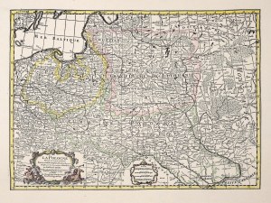
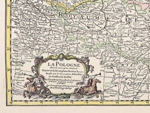
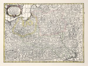
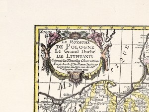
Collection of maps by Karol Borkowski (1802-1865) [POLAND] Karte von dem Königreich Polen, Grossherzogthum Posen, und den angrenzenden Gebieten Russlands, Oestreichs und Preussens. Berlin 1831, bei Simon Schropp et Comp. Color copperplate. 45x50.5 cm (imprint), on sheet 47x53 cm, divided into parts for folding, underlaid with fawn ; period binding : pp. with ties.[ POLAND] Chodźko, Leonard - Carte générale routiere, historique et statistique des etats de l'ancienne République de Pologne: indiquant son étendue territoriale avant le premier partage en 1772, avec les divisions établies en 1815, a l'époque du sixieme partage de ce pays, consommé dans le congres de Vienne et les changemens arrivés en 1844 / dressée par Léonard Chodźko. Paris 1846, b. publ. color lithograph. 44x55 cm (frame), on sheet 48x58.5 cm, divided into parts for folding, underlaid with fawn; period binding: pp. with tacks. [ GALICIA] Weiland, Carl Ferdinand - Das Koenigreich Galizien / entworfen und gezeichnet von C.F. Weiland. Weimar 1842, im Verlage des Geograph. Instituts. Color lithograph. 44x59 cm (framed), divided into folding sections, underlaid with fawn; period binding: fep. with tacks. [ GERMANY] Post- und Reisekarte von Deutschland, den Niederlanden, Belgien und der Schweiz. Nürnberg 1848, F. Korn. Color steel engraving 58x66 cm (frame), divided into parts for folding, underlaid with fawn; period binding: pp. [ TURKEY] Hérisson, Eustache - Carte de l'Empire de Turquie en Europe et en Asie / dressée par Hérisson. Paris 1854, A. Logerot. Color steel engraving. 55.5x79 cm (plate imprint), divided into sections for folding, underlaid with fawn; period binding: pp. [ ITALY] Berthe - Carte générale de l'Italie indiquant les routes, les chemins de fer et les divisions politiques de ses différents etats / dressée par .... Paris 1859, Garnier freres. Lithographed 77x55 cm (framed), divided into folding sections, underlaid with fawn; period binding: pp.
6 large maps from the years 1831-1859, from the collection of Karol Borkowski - insurgent and independence activist, officer in the November Uprising, founder of the Union of Polish Coal Miners - a secret political organization, for which he was sentenced to death, participant in the events of 1848 and the January Uprising, émigré, author of "Pamiętnik historyczny o wyprawie partzanckiej do Polski w r. 1833" - expedition of Józef Zaliwski, of whom he was a close associate. The inside covers of the hardcover of 3 maps (2 maps of Poland and Germany) bear KBorkowski's signature; the front covers of the hardcover of 5 maps (except the map of Germany) bear stickers with Karol Borkowski's handwritten description (in Polish) of their contents. Condition more than good to very good.
Recently viewed
Please log in to see lots list
Favourites
Please log in to see lots list


![Collection of maps by Karol Borkowski (1802-1865) [POLAND] Karte von dem Königreich Polen, Grossherzogthum Posen....](https://img1.one.bid/img/4428/1124659_1q.jpg?1670674385)
![Collection of maps by Karol Borkowski (1802-1865) [POLAND] Karte von dem Königreich Polen, Grossherzogthum Posen....](https://img1.one.bid/img/4428/1124659_2w.jpg?1670674385)
![Collection of maps by Karol Borkowski (1802-1865) [POLAND] Karte von dem Königreich Polen, Grossherzogthum Posen....](https://img1.one.bid/img/4428/1124659_3w.jpg?1670674385)
![Collection of maps by Karol Borkowski (1802-1865) [POLAND] Karte von dem Königreich Polen, Grossherzogthum Posen....](https://img1.one.bid/img/4428/1124659_4w.jpg?1670674385)
![Collection of maps by Karol Borkowski (1802-1865) [POLAND] Karte von dem Königreich Polen, Grossherzogthum Posen....](https://img1.one.bid/img/4428/1124659_5w.jpg?1670674385)
![Collection of maps by Karol Borkowski (1802-1865) [POLAND] Karte von dem Königreich Polen, Grossherzogthum Posen....](https://img1.one.bid/img/4428/1124659_6w.jpg?1670674385)


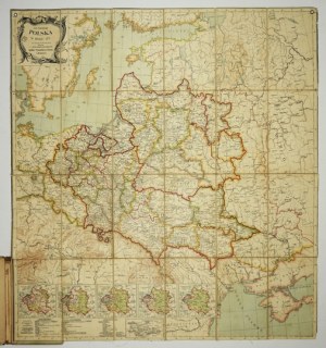
![[MAP]. MAP OF POLAND 1 : 500 000. OLSZTYN. [Sheet ] 3. w-wa 1947....](https://img1.one.bid/img/6363/1859794_1x.jpg?1713045600)
