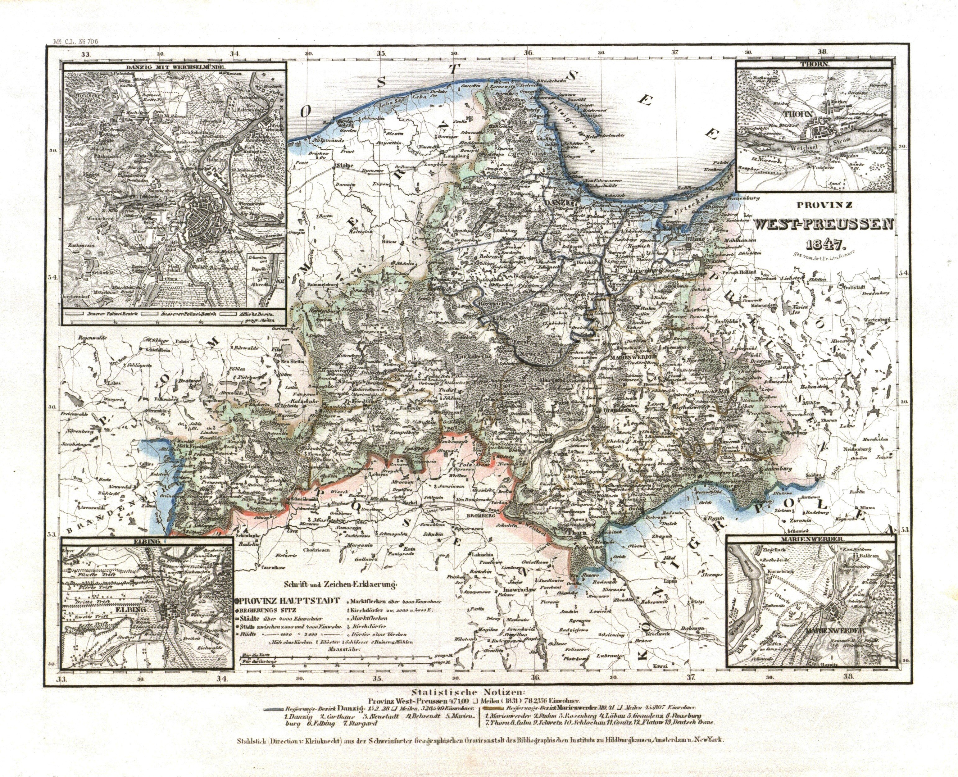
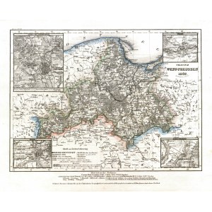
PRUSY ZACHODNIE. Mapa Prowincji Prusy Zachodnie w 1847 r.; por. Renner
addYour notecreate
Lot description
PRUSY ZACHODNIE. Mapa Prowincji Prusy Zachodnie w 1847 r.; rys. por. Renner; w narożnikach 4 niewielkie ramki ze zbliżeniem okolic Gdańska, Torunia, Elbląga i Kwidzyna; pochodzi z: Meyer’s Handatlas, wyd. Bibliograph. Inststituts, Hildburghausen, Amsterdam, Nowy Jork, 1837; stal. cz.-b. z kolorem liniowym, st. bdb.; wym.: 249x185 mm; PROVINZ WEST-PREUSSEN 1847;
LabelsBETA
Labels are assigned by artificial intelligence based on the recognized context of the image. The algorithm is constantly learning and we make every effort to make the results more accurate over time.
![[MAP]. MAP OF POLAND 1 : 500 000. OLSZTYN. [Sheet ] 3. w-wa 1947....](https://img1.one.bid/img/6363/1859794_1x.webp?1713045600)


![Königl. Freistadt Oedenburg [Sopron szabad királyi város térképe, 1871.] Lithographiert von F. Szita. W[iene]r...](https://img1.one.bid/img/6570/1844246_1x.webp?1712700000)
![Königl. Freistadt Oedenburg [Sopron szabad királyi város térképe, 1871.] Lithographiert von F. Szita. W[iene]r...](https://img1.one.bid/img/6570/1844246_2x.webp?1712700000)