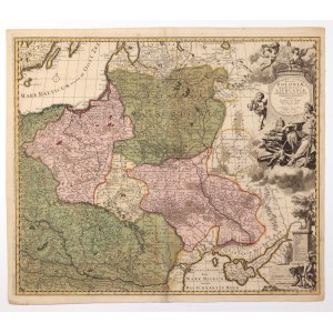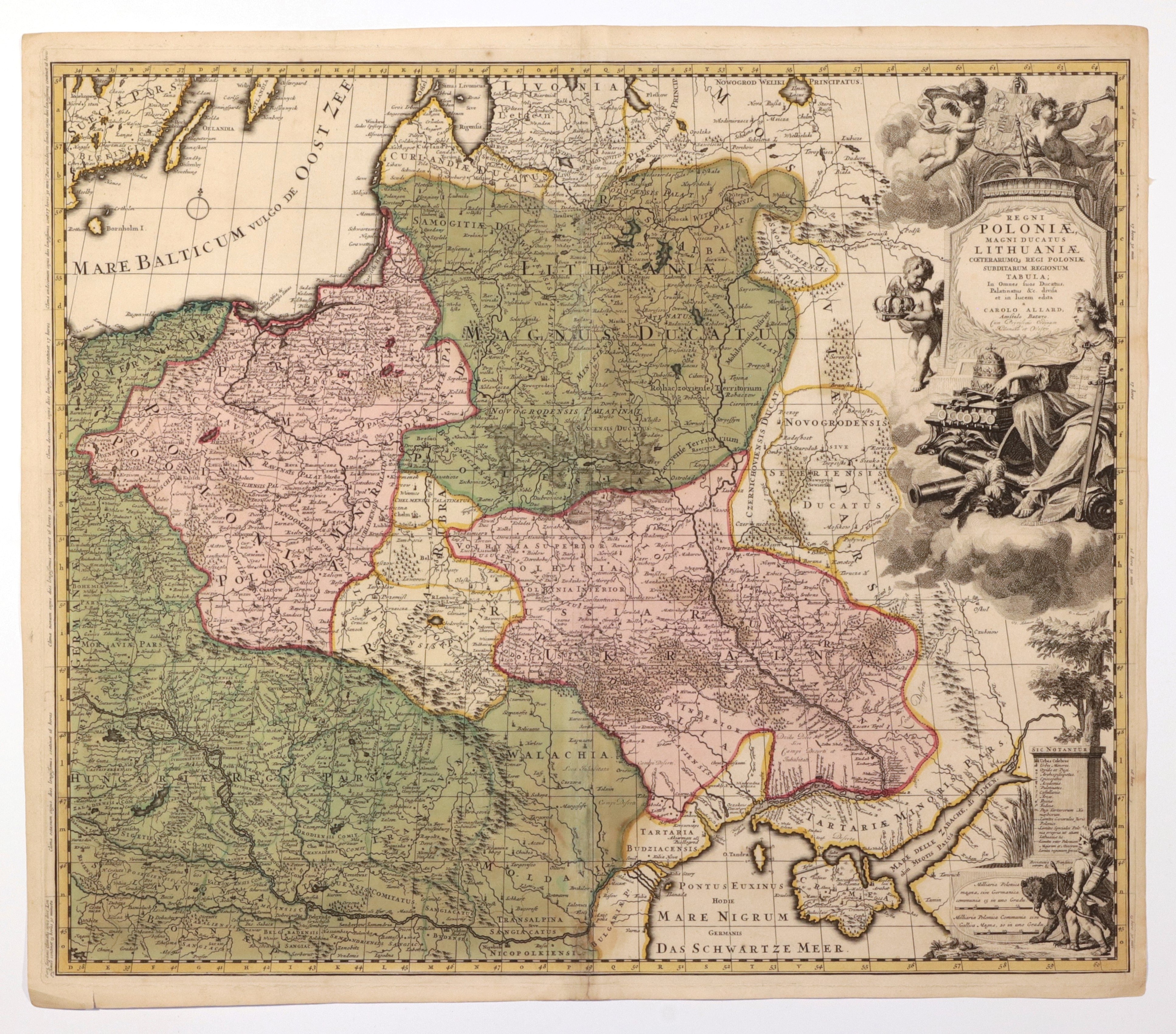
POLAND (called KORONA in the First Republic), GREAT PRINCE OF LITHUANIA. Map of Poland and Lithuania; compiled by. C. Allard, drawing by Ph. Tidemann, ryt. G. v. Gouwen, Amsterdam, ca. 1697; map reproduced, among others, in: Atlas minor, seu universi terrarum orbis geographicum compendium, recentiffimas, & [...], Amsterdam, published by C. Allard; copper color, st. bdb., plate dimensions 600x515 mm; REGNI POLONIAE, MAGNI DUCATUS LITHUANIAE COETERARUMQ REGI POLONIAE SUBDITARUM REGIONUM TABULA [...]; VERY RARE.
Map created in the year of the coronation of Augustus II the Strong as king of the Republic. Beneath the cartouche an idealized image of Augustus stylized as an ancient hero can be seen, along with royal and electoral insignia.


![[MAP]. MAP OF POLAND 1 : 500 000. OLSZTYN. [Sheet ] 3. w-wa 1947....](https://img1.one.bid/img/6363/1859794_1x.webp?1713045600)
![Automobile MAP of Poland 1 : 2,000,000 with list of gas stations by 'Karpaty' Nakł. Karpaty Sp. z o.o., Lviv [1933].](https://img1.one.bid/img/6145/1794990_1x.webp?1709593200)
![Automobile MAP of Poland 1 : 2,000,000 with list of gas stations by 'Karpaty' Nakł. Karpaty Sp. z o.o., Lviv [1933].](https://img1.one.bid/img/6145/1794990_2x.webp?1709593200)