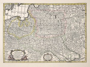
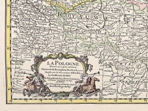
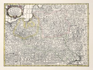
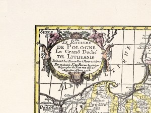
[POLAND]. Map of Polish and neighboring lands. Color map form. 55.5x76.2 on ark. 74x92.7 cm.
Map printed at the Polish Printing House in Kiev in 1916. Title on upper margin. Under the lower frame, legend, scale (1:1,500,000), 3 linear scales, war censorship permit with date of August 2, 1916. In the lower right corner, printer's trademark. The map uses two colors to indicate areas settled by Polish population up to 20% and above 20%. It covers the areas of: Kaunas-Budapest, Zielona Gora-Berezna. Preserved original booklet cover (with list of "new Polish books"). Folded map. Very good condition. Infrequent.
Recently viewed
Please log in to see lots list
Favourites
Please log in to see lots list


![[POLAND]. Map of Polish and neighboring lands. Color map form. 55.5x76.2 on ark. 74x92,...](https://img1.one.bid/img/2611/724281_1q.jpg?1644669838)
![[POLAND]. Map of Polish and neighboring lands. Color map form. 55.5x76.2 on ark. 74x92,...](https://img1.one.bid/img/2611/724281_2w.jpg?1644669838)


![[MAP]. MAP OF POLAND 1 : 500 000. OLSZTYN. [Sheet ] 3. w-wa 1947....](https://img1.one.bid/img/6363/1859794_1x.jpg?1713045600)
![Automobile MAP of Poland 1 : 2,000,000 with list of gas stations by 'Karpaty' Nakł. Karpaty Sp. z o.o., Lviv [1933].](https://img1.one.bid/img/6145/1794990_1x.jpg?1709593200)
![Automobile MAP of Poland 1 : 2,000,000 with list of gas stations by 'Karpaty' Nakł. Karpaty Sp. z o.o., Lviv [1933].](https://img1.one.bid/img/6145/1794990_2x.jpg?1709593200)
