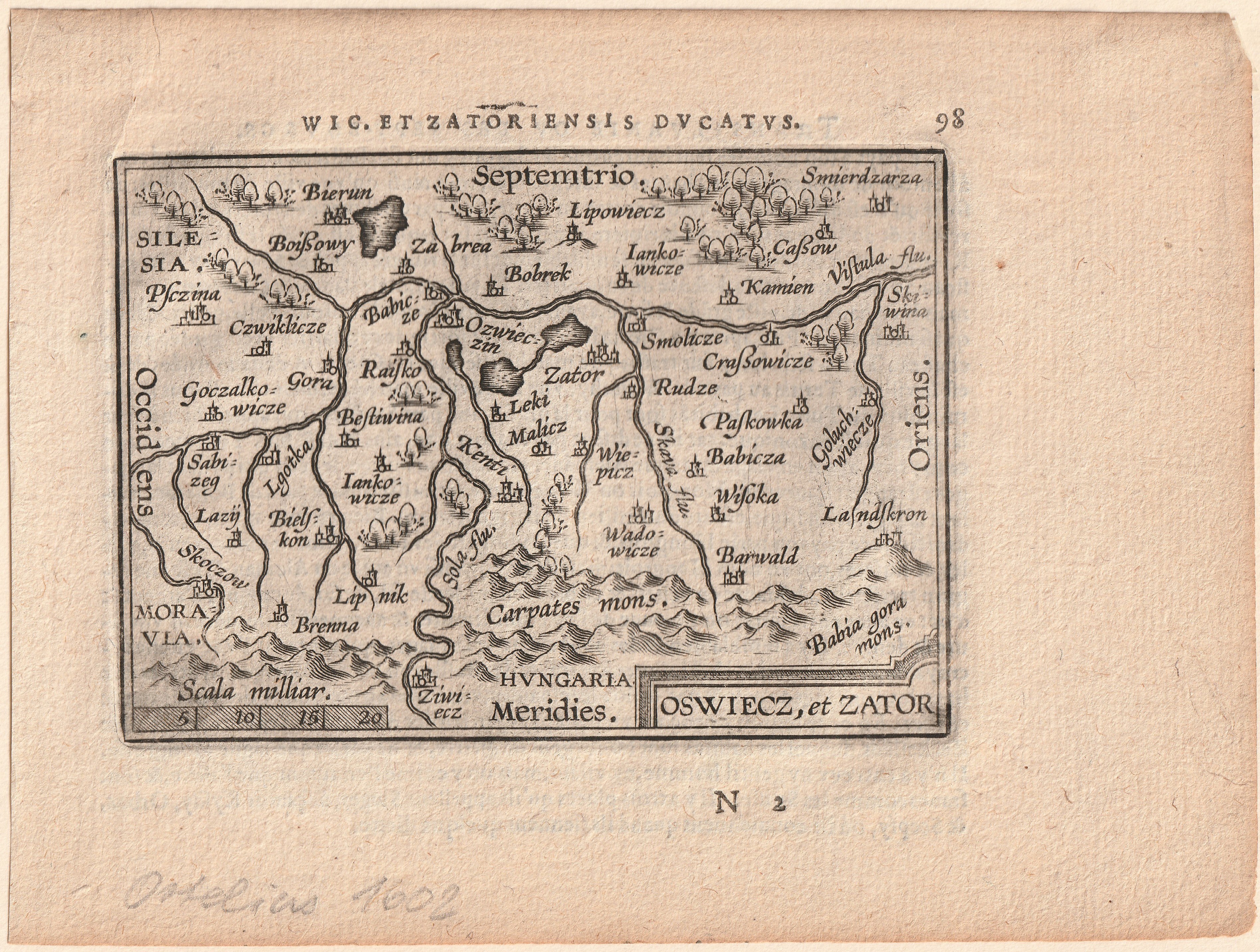
OŚWIĘCIM, ZATOR. Mapa Księstwa Oświęcimsko-Zatorskiego
addYour notecreate
Lot description
OŚWIĘCIM, ZATOR. Mapa Księstwa Oświęcimsko-Zatorskiego; Stanisław Porębski, pocz. XVII w.; nad górą ramką napis: WIC. ET ZATORIENSIS DVCATVS; miedz. cz.-b., st. bdb., passe-partout; wym. płyty: 107x77 mm; OSWIECZ, et ZATOR;
LabelsBETA
Labels are assigned by artificial intelligence based on the recognized context of the image. The algorithm is constantly learning and we make every effort to make the results more accurate over time.
![[MAP]. MAP OF POLAND 1 : 500 000. OLSZTYN. [Sheet ] 3. w-wa 1947....](https://img1.one.bid/img/6363/1859794_1x.webp?1713045600)