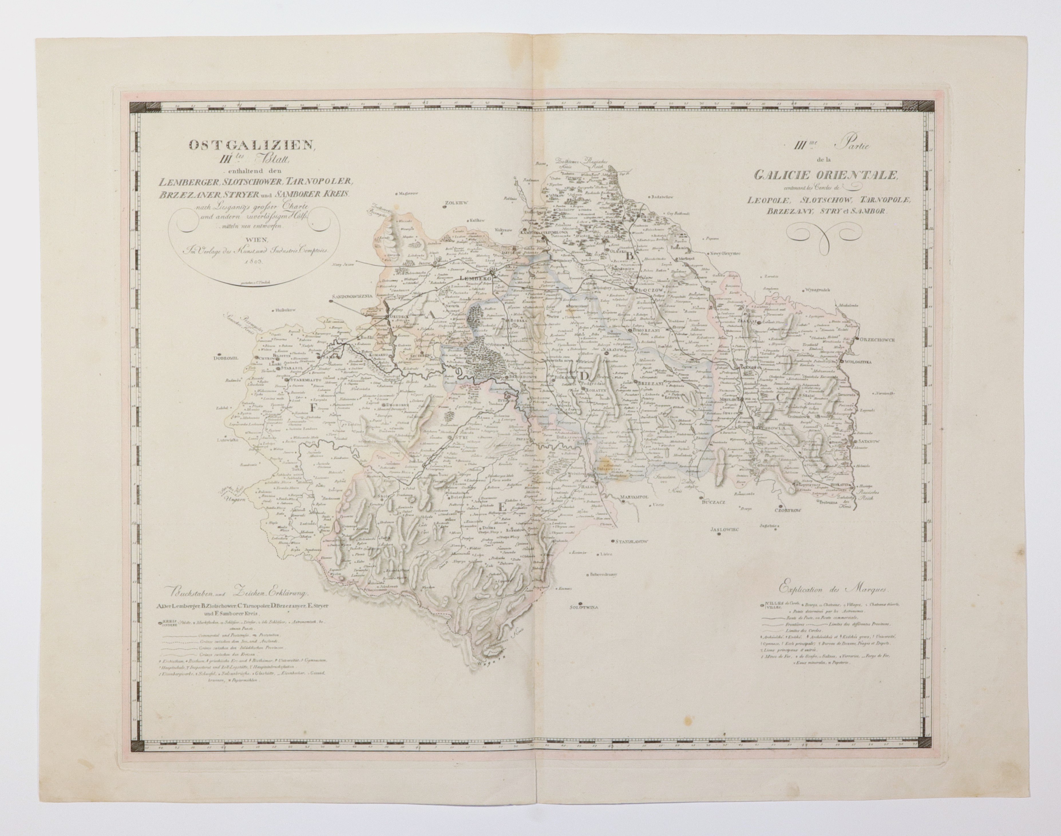
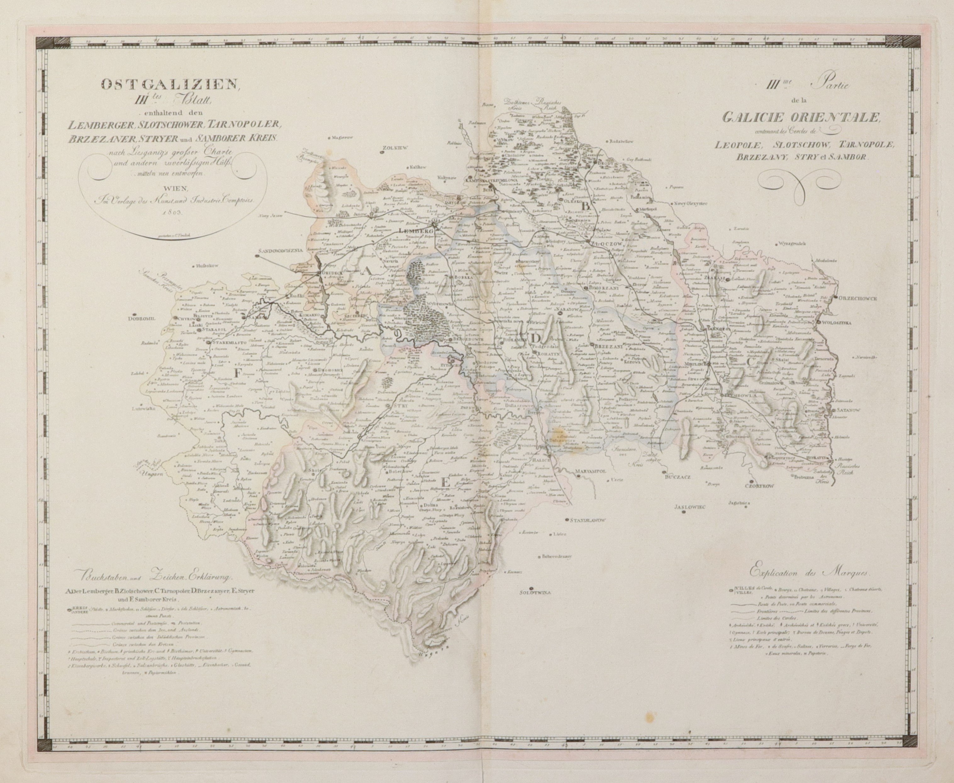
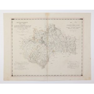
EASTERN GALICIA. Map of the districts of Lvov, Zlocow, Ternopil, Berezan, Stryj and Samborsk of Eastern Galicia (a term used in 1795-1809 to describe Galicia created after the First Partition, as opposed to New Galicia, or Western Galicia); compiled. based on an earlier map by J.X. Liesganig, Vienna 1803; copper. b. with line color, st. bdb, a few rust spots, slight tear in lower margin; plate dimensions 595x488 mm; tit. bilingual: OSTGALIZIEN, IIItes Blatt, enthaltend den LEMBERGER, SLOTSCHOWER, TARNOPOLER, BRZEZANER, STRYER und SAMBORER KREIS [...]; and IIIme Partie de la GALICIE ORIENTALE contenant les Cercles de LEOPOLE, SLOTSCHOW, TARNOPOLE, BRZEZANY, STRY et SAMBOR.
![[MAP]. MAP OF POLAND 1 : 500 000. OLSZTYN. [Sheet ] 3. w-wa 1947....](https://img1.one.bid/img/6363/1859794_1x.webp?1713045600)