


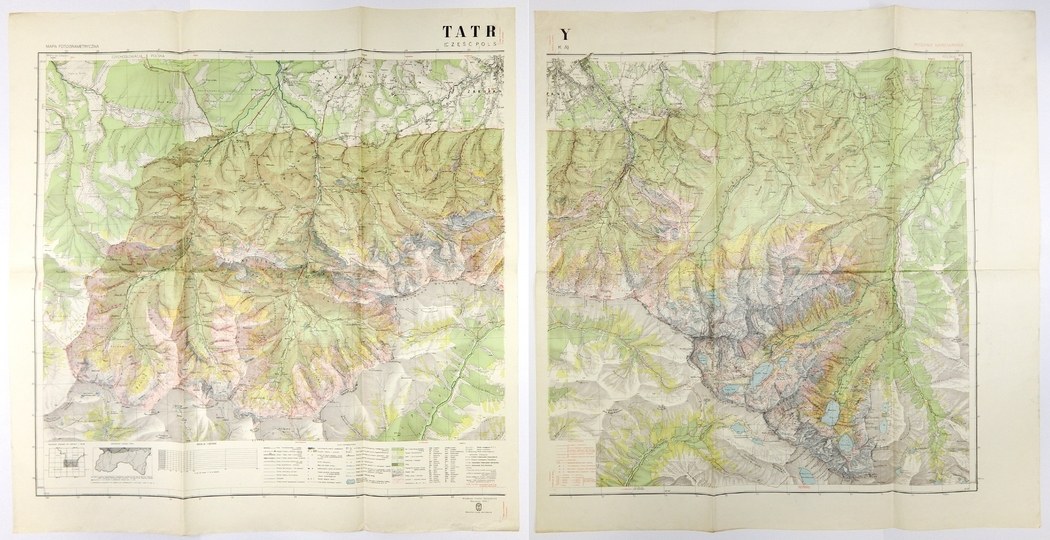
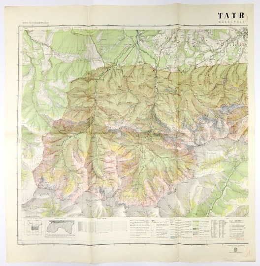
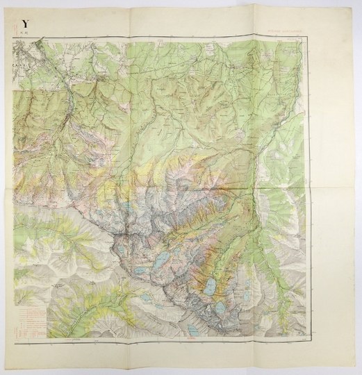
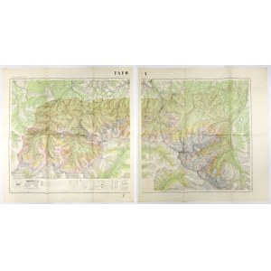
[TATRY]. Tatras (Polish part). Photogrammetric map. Ski edition. Two-part color map form. 70.7x74.9 and 70.7x69.2 on sheets 83x81.5 and 83x79.6 cm.
Two-sheet map of the Tatra Mountains developed. by the Military Geographical Institute in Warsaw in 1938. In the lower part of the left sheet in the frame legend and scale (1:20,000). On the right sheet near the lower frame the legend "Ski Signs". The initiator of the development of the map of the National Park in the Tatra Mountains was W. Goetel. Survey work in the field began in 1917 and was carried out with varying intensity until 1933, they became the basis for the development of a new detailed map of the Tatra Mountains. Three variants of it were published. The first, marked B, was issued in 1934 for the Geographic Congress. Developed in haste as "Photogrammetric Map of the National Park of the Polish Tatra Mountains," it showed no legibility. The other two, A and C, were published in 1938. The first (A) focused on summer tourism, the C variant (presented here) referred to winter sports. Folding marks, sheet creases, minor stains.


![[MAP]. MAP OF POLAND 1 : 500 000. OLSZTYN. [Sheet ] 3. w-wa 1947....](https://img1.one.bid/img/6363/1859794_1x.webp?1713045600)
![Poland car map. Cracow [1945].](https://img1.one.bid/img/6508/1873705_1x.webp?1713823200)
![Poland car map. Cracow [1945].](https://img1.one.bid/img/6508/1873705_2x.webp?1713823200)


![Dalhberg Erik Jonsson [Puffendorf] - Map of the Kingdom of Denmark and Pomerania (Szczecin)](https://img1.one.bid/img/5856/1829209_1x.webp?1712008800)


Recently viewed
Please log in to see lots list
Favourites
Please log in to see lots list