


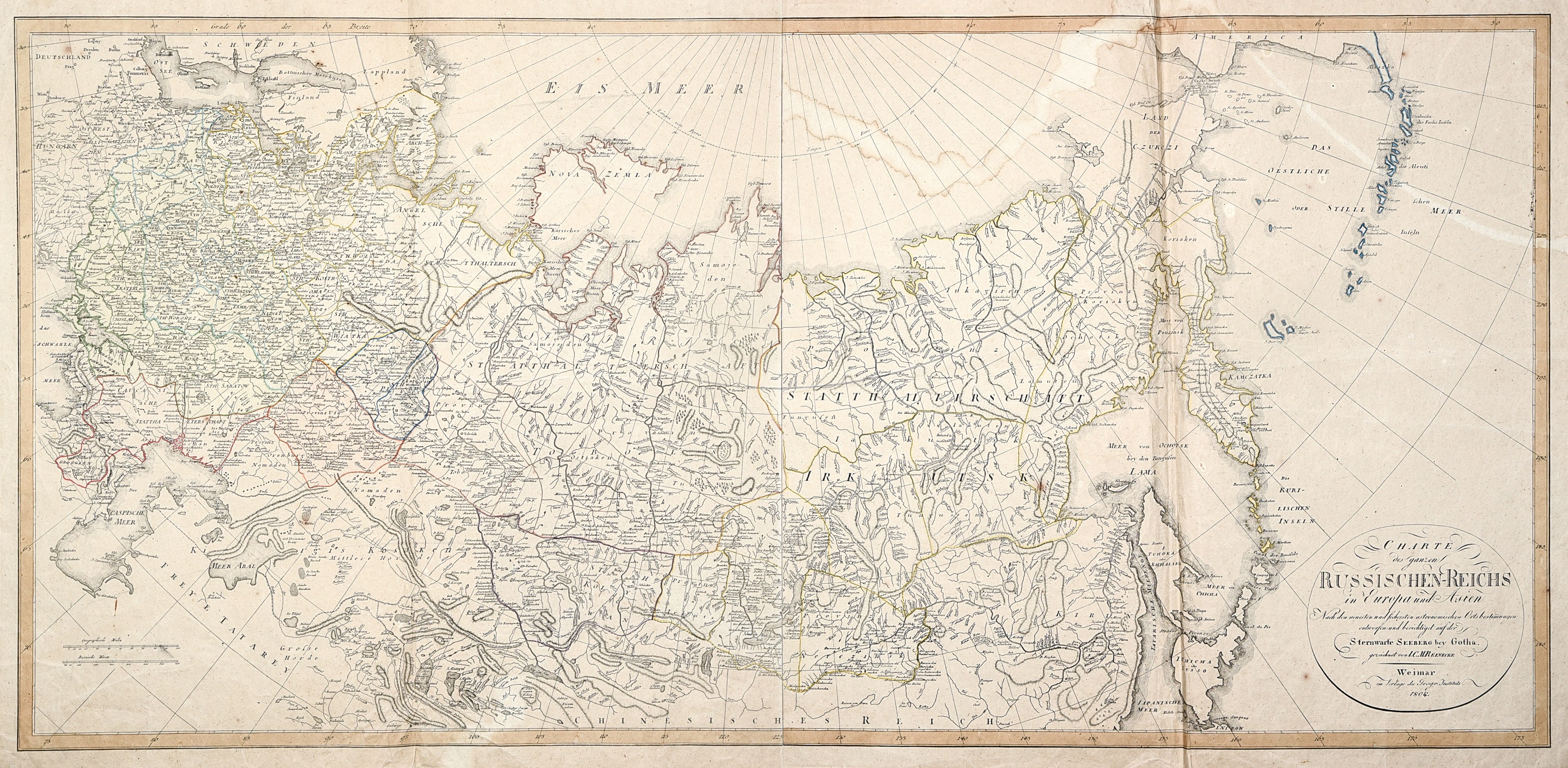
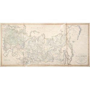
SYBERIA. Map of Siberia and the European part of Russia by Johann Christoph Matthias Reinecke, based on astronomical data from the Gotha Observatory (Sternwarte Seeberg bey Gotha), Weimar 1804. Marked is the route between central Russia and the coast of the Sea of Okhotsk, i.e. the path of the deportees traveling it in foot convoys or kibbits; to the west, the Polish lands are visible as gubernias incorporated into Russia with the administrative division accurately depicted, as well as various towns, settlements and states in Siberia.On verso handwritten annotations, copper. with line color, rebound from two plates, st. bdb., dampstain in upper part, creases, slight tears in upper edge; map dimensions: 1030x490 mm; title at bottom, in circular cartouche: CHARTE / des ganzen / RUSSISCHEN-REICHS / in Europa und Asien....


Recently viewed
Please log in to see lots list
Favourites
Please log in to see lots list