


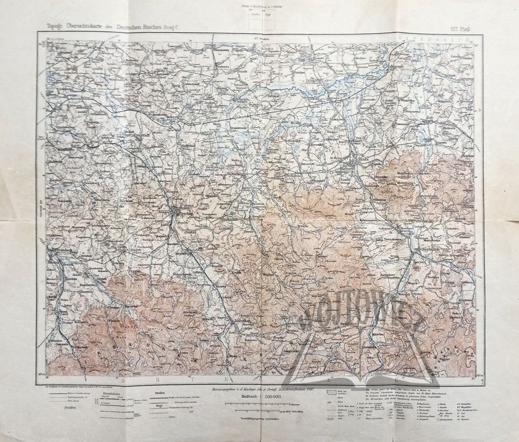
(PSZCZYNA). Pleß.
Topogr. Übersichtskarte des Deutschen Reiches. Ausg. C. Folding map, scale 1 : 200,000. (No place of publication.) 1902. Herausgegeben v. d. Kartogr. abt. d. Preuß. Landesaufnahme. Dimensions: 37.5 x 44.5 cm.
Unw. soiled and edge tears, handwritten inscription on back, otherwise good condition. 9136/35


Recently viewed
Please log in to see lots list
Favourites
Please log in to see lots list