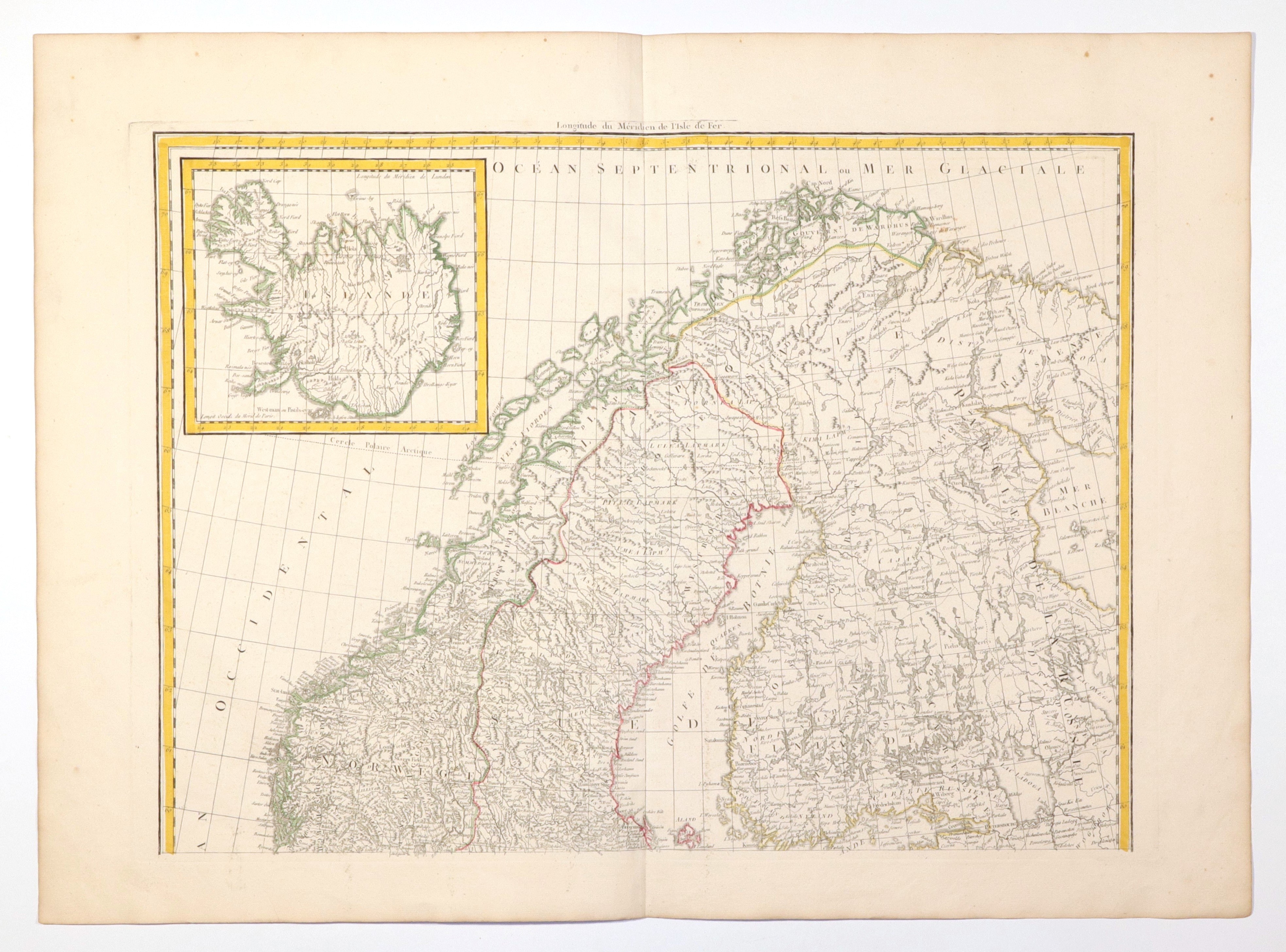
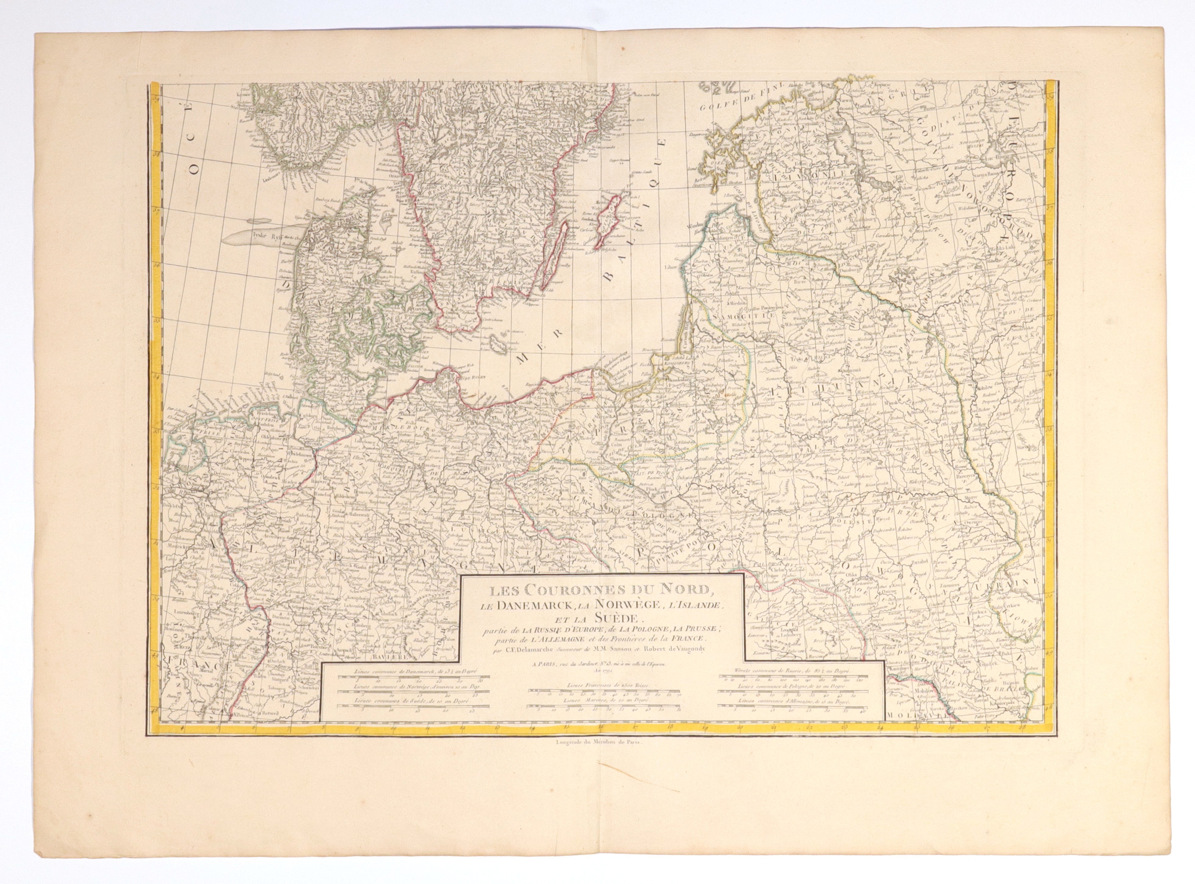
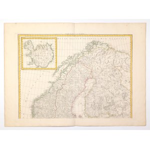
POLAND, DENMARK, NORWAY, SWEDEN, ICELAND. Map of Scandinavian countries, as well as Polish, Lithuanian and German lands; issued by C.F. Delamarche (successor to Sanson and Robert de Vaugondy), Paris 1792; map on two separate sheets; copper. with line color, st. bdb., minimal perforation on both sheets; plate dimensions: ca. 655x465 mm; LES COURONNES DU NORD, LE DANEMARCK, LA NORWÈGE, L'ISLANDE, ET LA SUÈDE. partie de LA RUSSIE D'EUROPE, de LA POLOGNE, LA PRUSSE; partie de L'ALLEMAGNE et des Frontières de la FRANCE.