


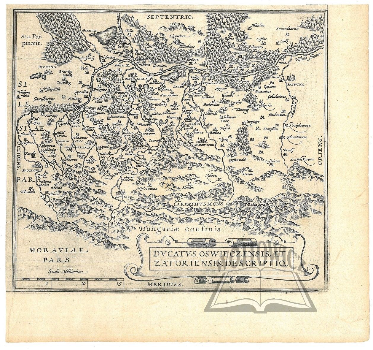
(OŚWIĘCIM and Zator).
"Ducatus Oswieczensis, et Zatoriensis, Descriptio". Copperplate. The map comes from the atlas: Ortelius A. - Theatrum orbis terrarum. (published in the late 16th and early 17th centuries) Format: 22 x 24.5 cm (board: 26.5 x 28 cm).
Good condition. The map is a fragment of a larger board on which three maps were reflected, besides the Duchy of Oświęcim-Zator, the board included a map of Pomerania and Inflants. Verso clean.


Recently viewed
Please log in to see lots list
Favourites
Please log in to see lots list