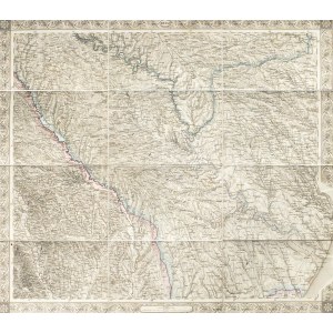
ODESSA. Map of the Odessa area, taken from: Scheda, Joseph, Ritter von, General-Karte von Central-Europa in 47 Blättern, published by Kaiserlich-Königliches Militär-Geographisches Institut, Vienna 1871-1881; the map covers the area from the towns of Roman and Bacău in Romania in the west to Odessa in the east, from the town of Jampol in the north to Trotus and Tuzly in the south; decorative bordure all around; on the verso a small signboard with a simplified overview map; letter f f. b. with line color, st. bdb., map divided into 12 sections glued together with linen; sheet dimensions: 565x500 mm; title at top, within bordering: ODESSA.
Jedysan was finally liquidated after the end of the subsequent Turkish-Russian war in 1812. Like the previous acquisitions, the newly conquered lands were named New Russia. Odessa also lay on them.





![[MAP]. MAP OF POLAND 1 : 500 000. OLSZTYN. [Sheet ] 3. w-wa 1947....](https://img1.one.bid/img/6363/1859794_1x.jpg?1713045600)
