


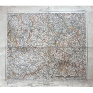
(KWIDZYN). Marienwerder. Übersichtskarte von Mitteleuropa.
Color map, scale 1 : 300 000. (No place of publication.) 1902. Herausgegeben von der Kartogr. Abteilung der Kgl. Preuß. Reichsamt für Landesaufnahme. Dimensions: 46 x 53.5 cm.
Dirt, browning, stains and crease marks on sheet, edge tears, pencil marks, fold marks, own stamp on back. 9114/29


![Königl. Freistadt Oedenburg [Sopron szabad királyi város térképe, 1871.] Lithographiert von F. Szita. W[iene]r...](https://img1.one.bid/img/6570/1844246_1x.webp?1712700000)
![Königl. Freistadt Oedenburg [Sopron szabad királyi város térképe, 1871.] Lithographiert von F. Szita. W[iene]r...](https://img1.one.bid/img/6570/1844246_2x.webp?1712700000)


Recently viewed
Please log in to see lots list
Favourites
Please log in to see lots list