


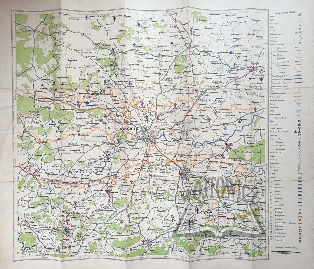
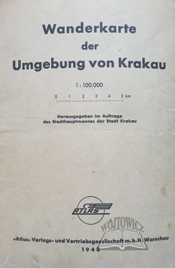
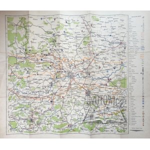
(KRAKOW). Wanderkarte der Umgebung von Krakau.
Color map, scale 1 : 100 000. Herausgegeben im Auftrage des Stadthauptmannes der Stadt Krakau. Warsaw 1943. "Atlas" Verlags- und Vetriebsgesellschaft m. b. H. Dimensions: 63 x 74 cm.
Traces of folding, some soiling and edge tears, unglued rubbing at folds, otherwise good condition. On the back is a brief description of the Cracow area, a list of surrounding towns and cities plotted on the map, and hiking trails. 9114/25


![Königl. Freistadt Oedenburg [Sopron szabad királyi város térképe, 1871.] Lithographiert von F. Szita. W[iene]r...](https://img1.one.bid/img/6570/1844246_1x.webp?1712700000)
![Königl. Freistadt Oedenburg [Sopron szabad királyi város térképe, 1871.] Lithographiert von F. Szita. W[iene]r...](https://img1.one.bid/img/6570/1844246_2x.webp?1712700000)


Recently viewed
Please log in to see lots list
Favourites
Please log in to see lots list