


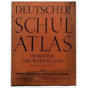
KRAJ WARTY. A 1942 German publication for schools, promoting the thesis of the Germanic character of the lands incorporated into the Reich; includes a Plan of the Capital District of Poznań, and maps: District of the Wartheland; Precipitation; Types of Land and Forestation; Natural Resources, Industry and Transportation; Population Density; Greater Germany; Wartheland-Political Overview; on inside covers, plans of districts: Ryczywół, Środa Wielkopolska, Łęczyce, Stare Bukowiec, Stodólno, Bukowiec Górny, Góry; pp. 8; printed in color; binding soft, with soiled margins, otherwise st. overall bdb.; dimensions ca. 245x320mm; DEUTSCHER SCHUL ATLAS HEIMATTEIL GAU WARTHELAND.


Recently viewed
Please log in to see lots list
Favourites
Please log in to see lots list