


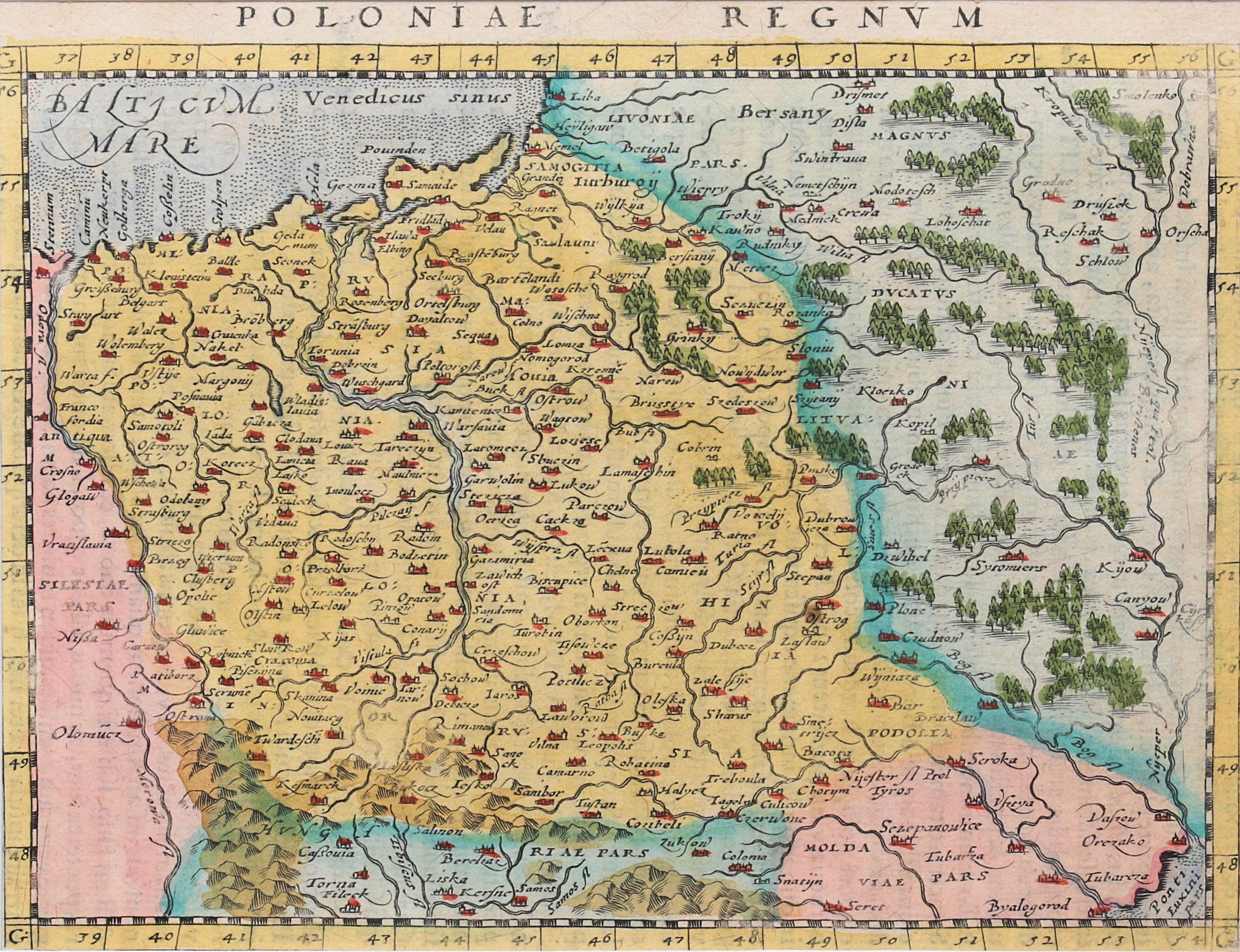
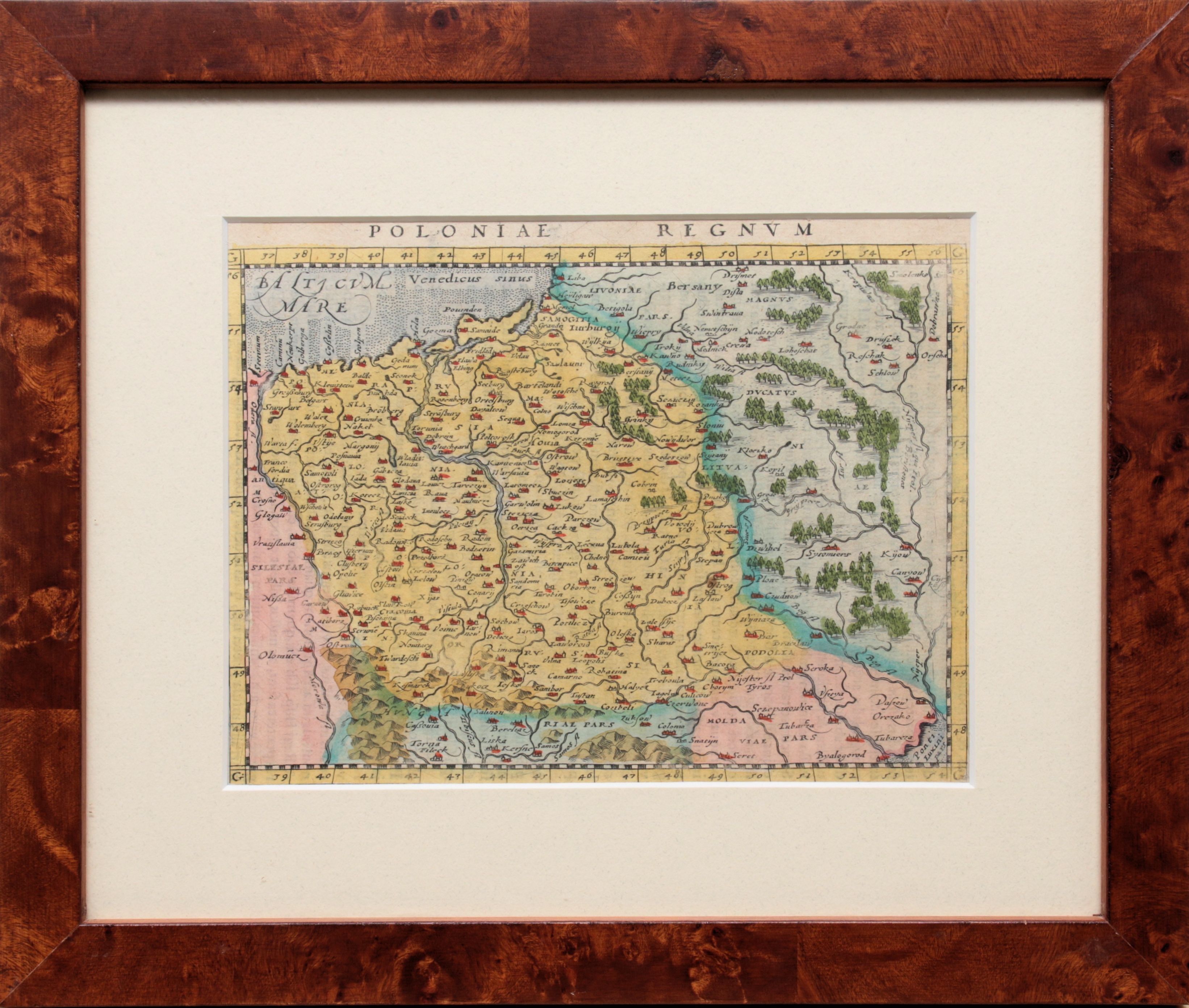
Map of the lands of the Republic, taken from "Geographiae universae tum veteris, tum novae absolutissimum opus..., ed. by Giovanni A. Magini, Cologne, 1597; on verso text in Latin
copperplate colored engraving, size 13 x 17 cm in light of binding
Imago Poloniae, K7/11
IP K7/11


Recently viewed
Please log in to see lots list
Favourites
Please log in to see lots list