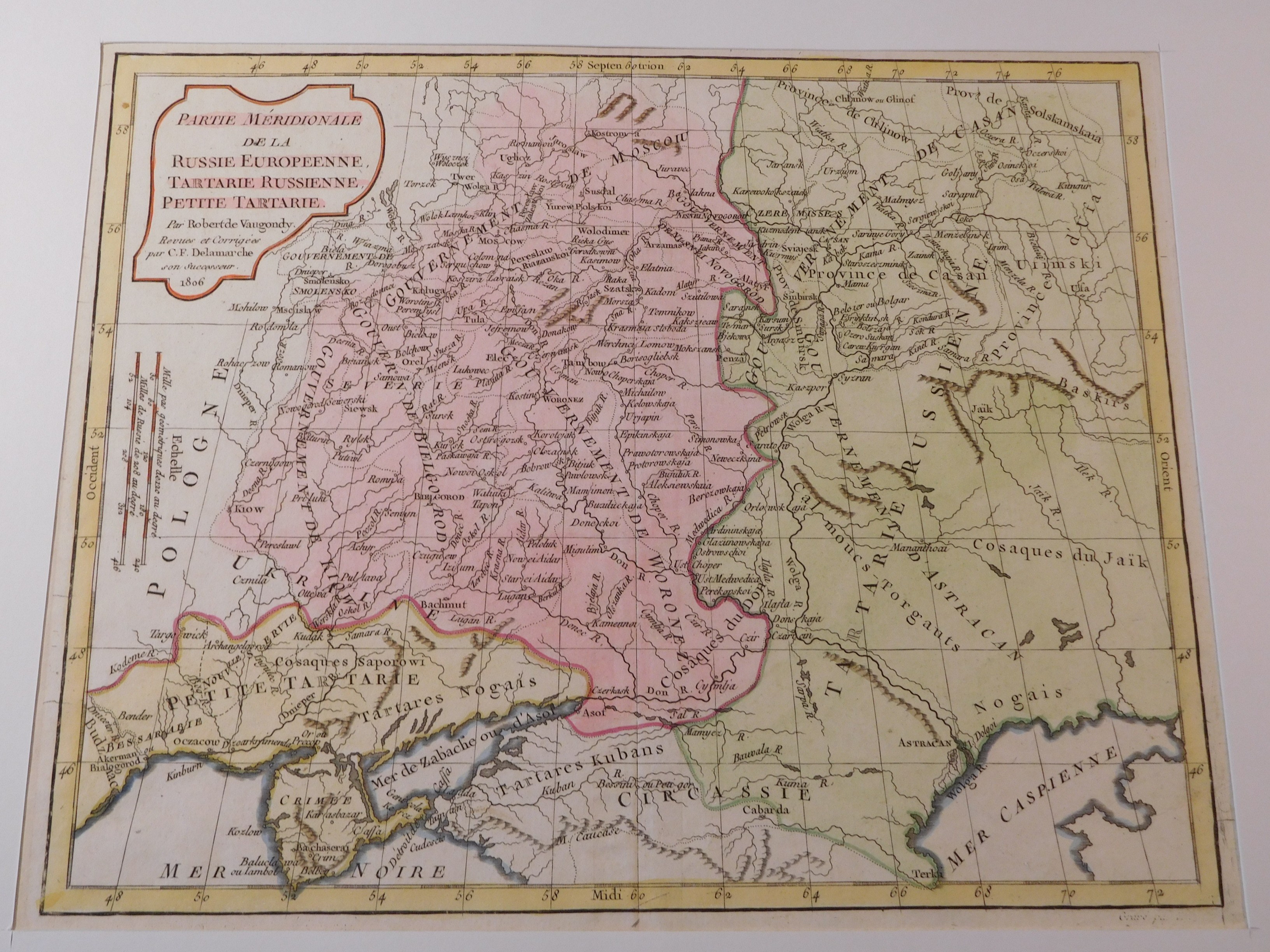


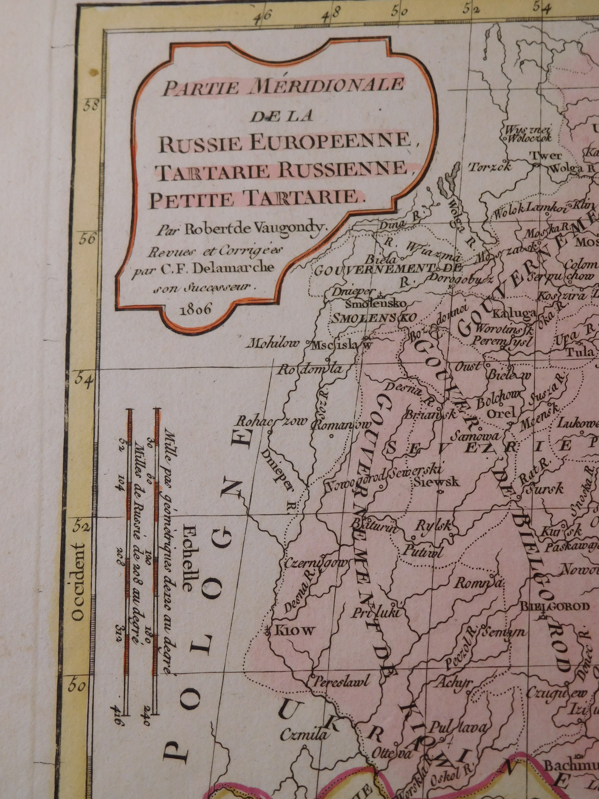
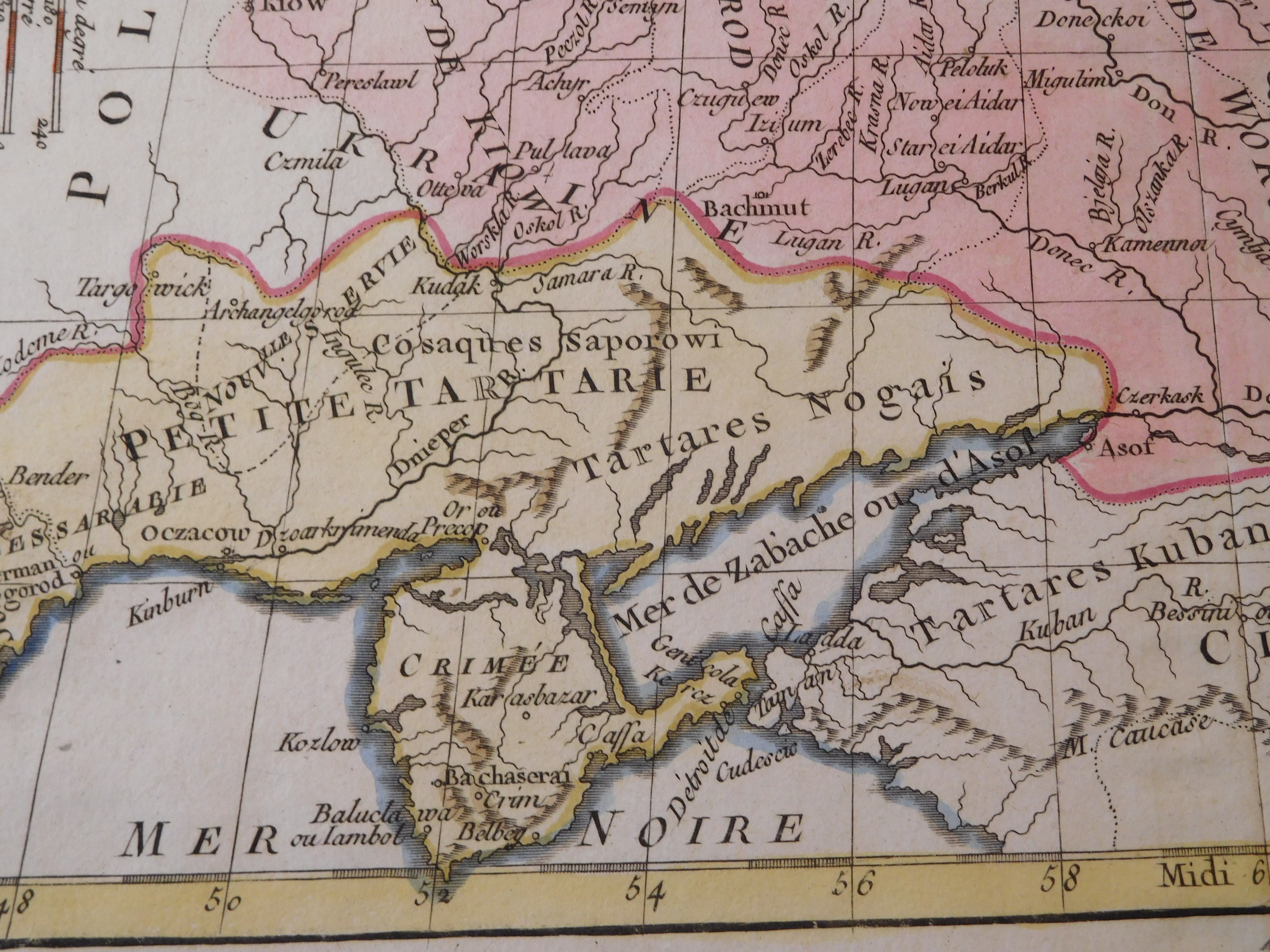
51. VAGONDY ROBERT, PARTIE MERIDIONALE DE LA RUSSIE D'EUROPE. (...).
Paris 1806, Charles-Francois Delamarche, eng. F. Dussy, 30.5 x 24.5 cm; (card: 42.5 x 29 cm), passe-partout 65 x 50 cm.
Colored copperplate map of the southern part of European Russia. Map taken from the atlas of the famous geographer Robert Vagondy (1723-1786), " Nouvel Atlas Portatif". On the back the number "13", referring to the map number in the atlas. Although corrected and completed by Vaugondy's successor Charles-François Delamarche in 1806, the map depicts the borders of Poland prior to the First Partition in 1772. Map framed in white passe-partout.
Piece db preserved, clear copperplate imprint, clear colors, stains in margins; otherwise flawless.