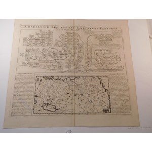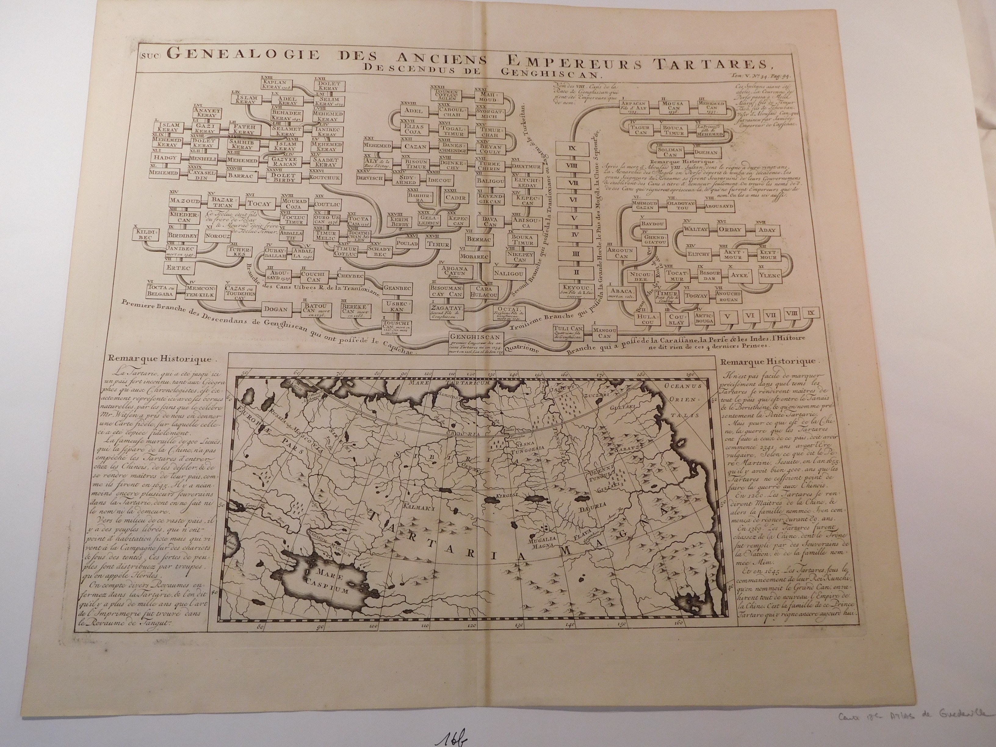
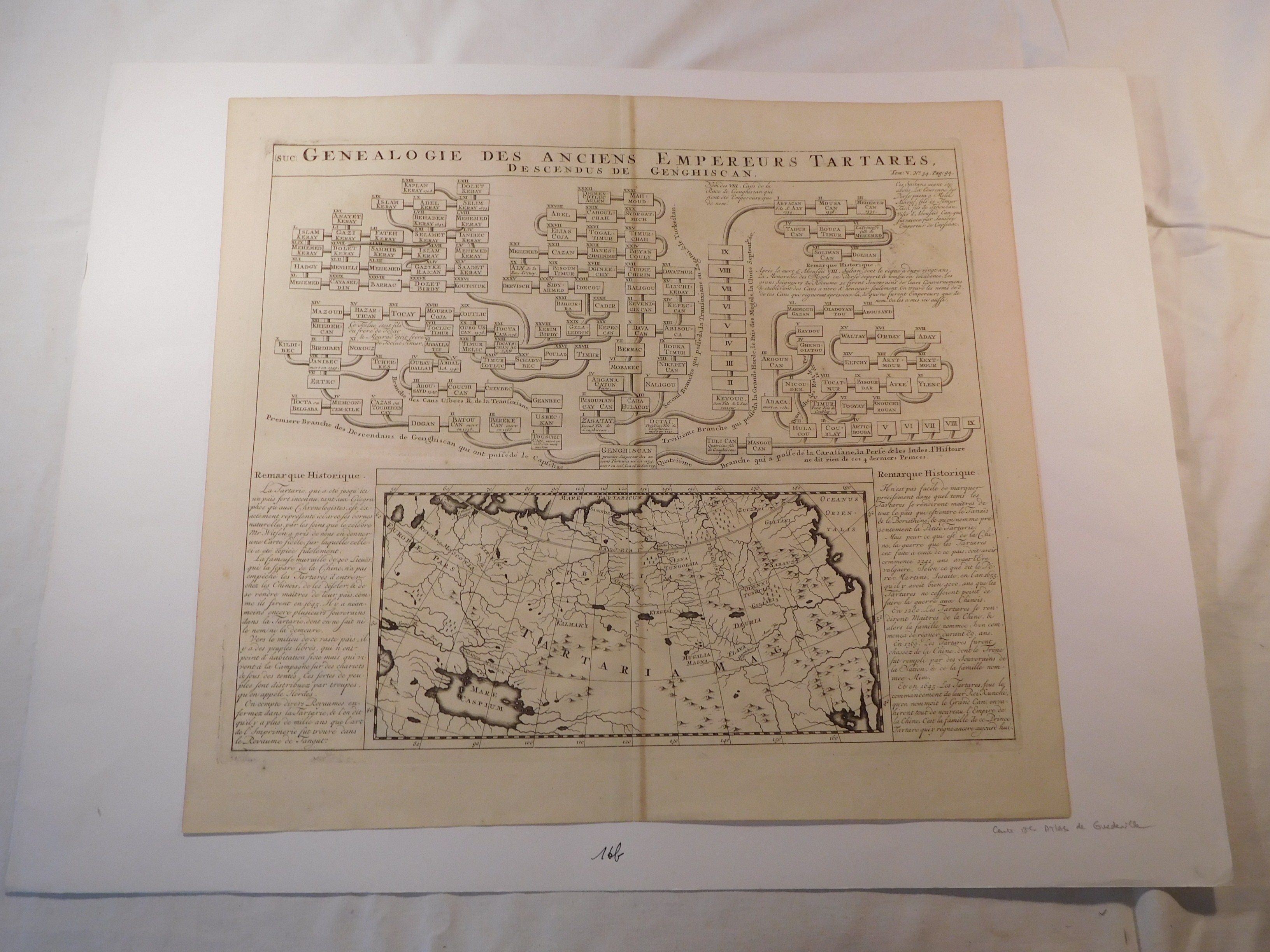

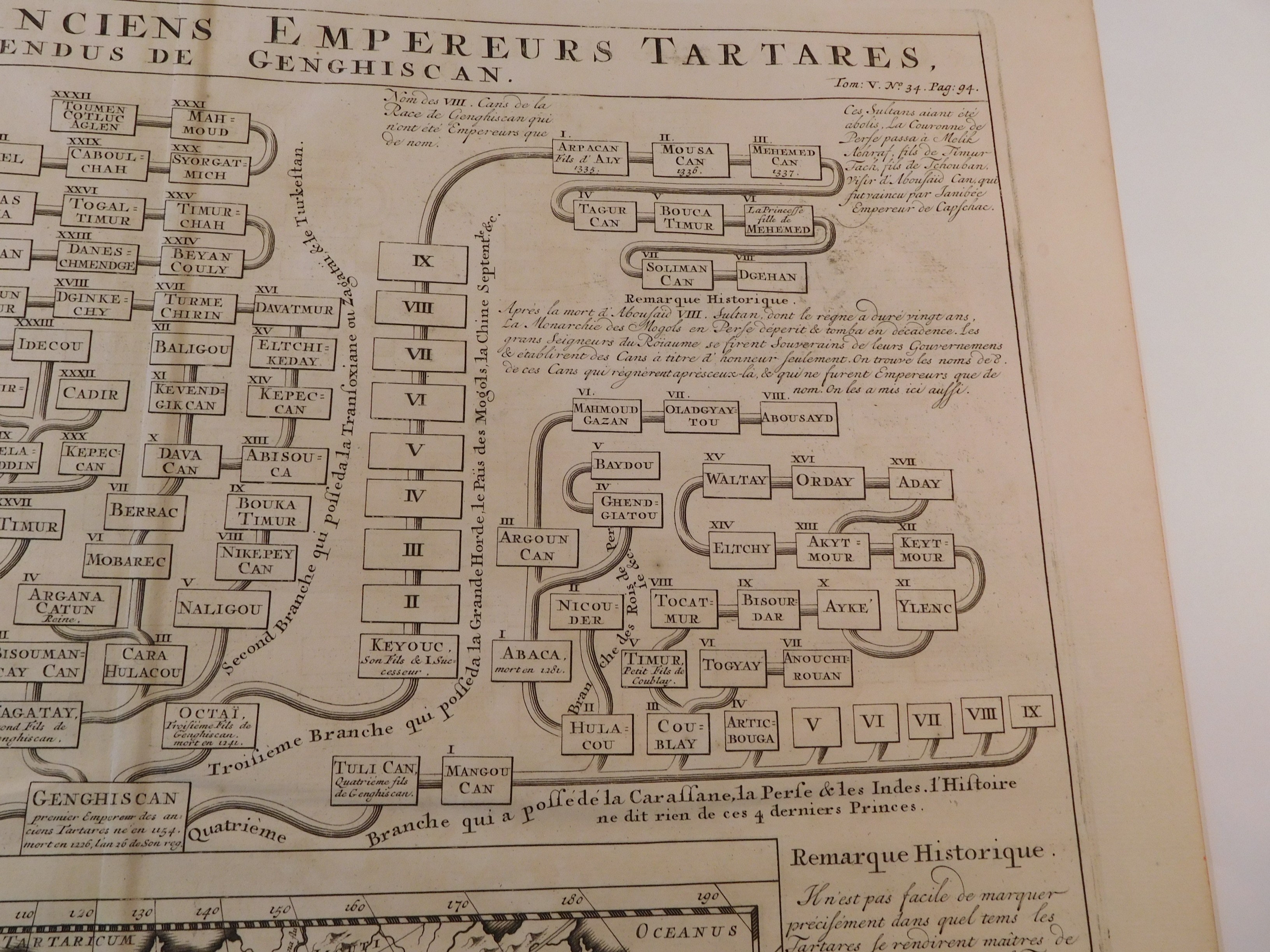
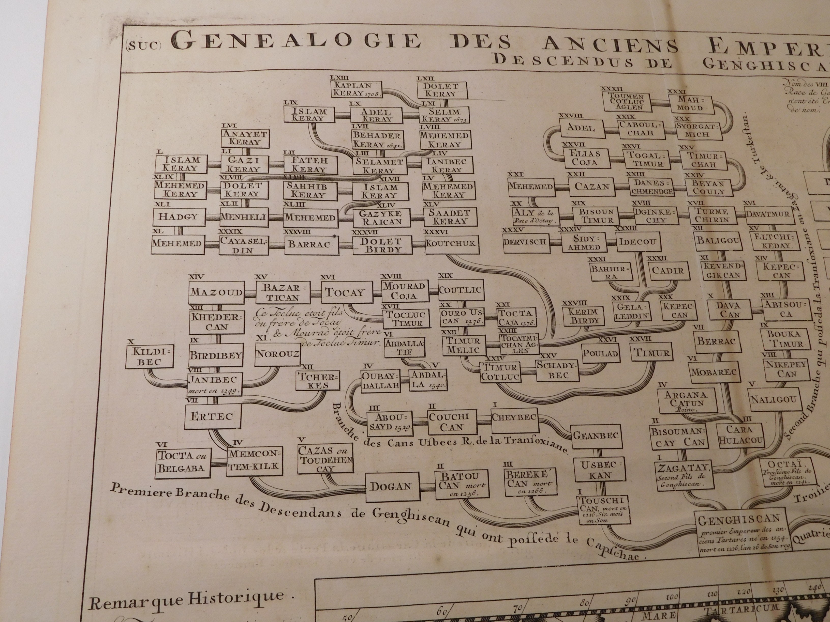

41. CHATELAIN HENRY ABRACHAM, Genealogie des Anciens Empereurs Tartares, Descendus de Genghiscan.
Amsterdam 1719, Honoré and Châtelain, drawing and eng. Châtelain, Henri Abraham (1684-1743), Guedeville, Nicolas (1652-1721), 43.5 x 37 cm; (card: 48.5 x 44.5 cm).
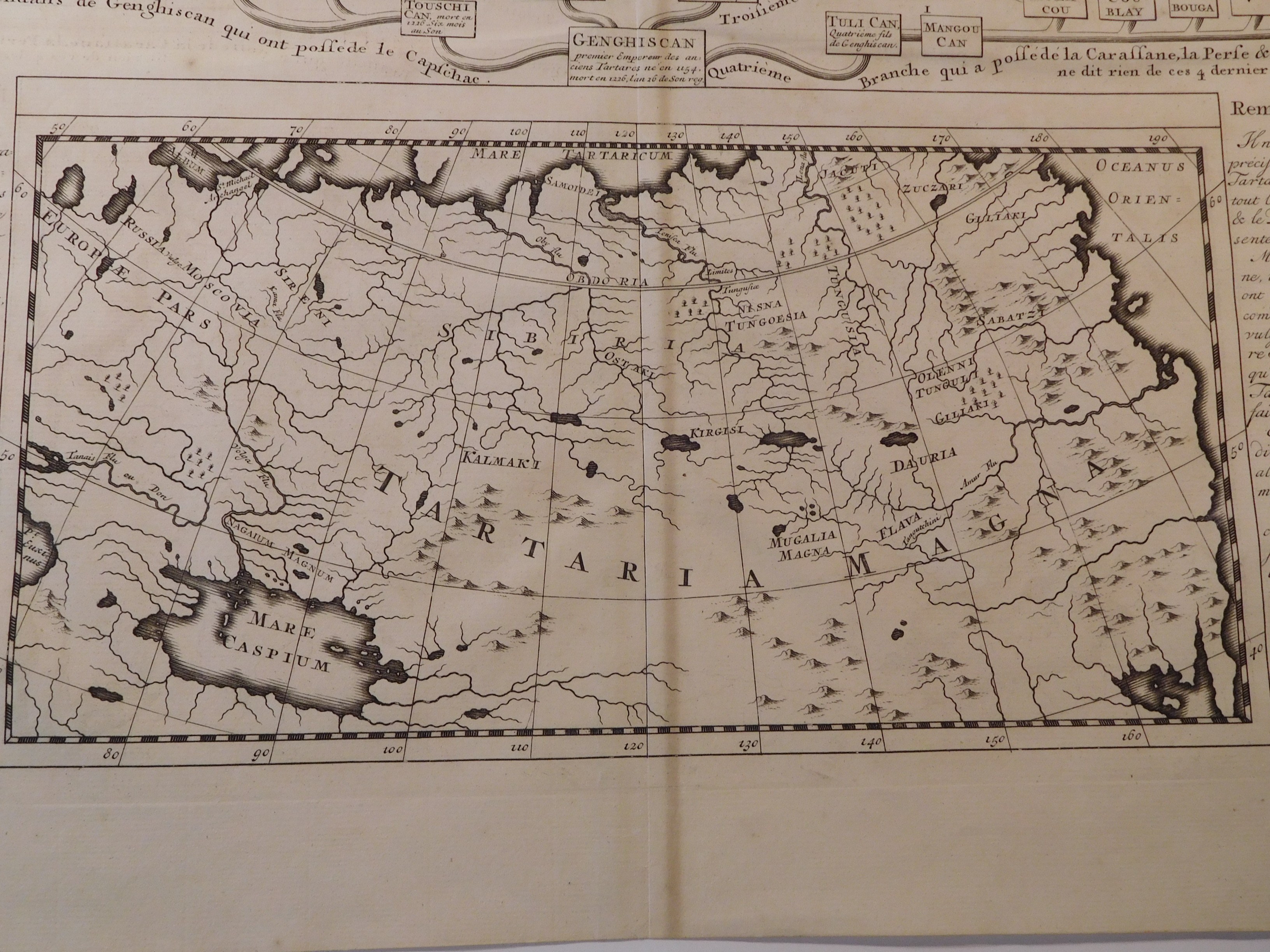
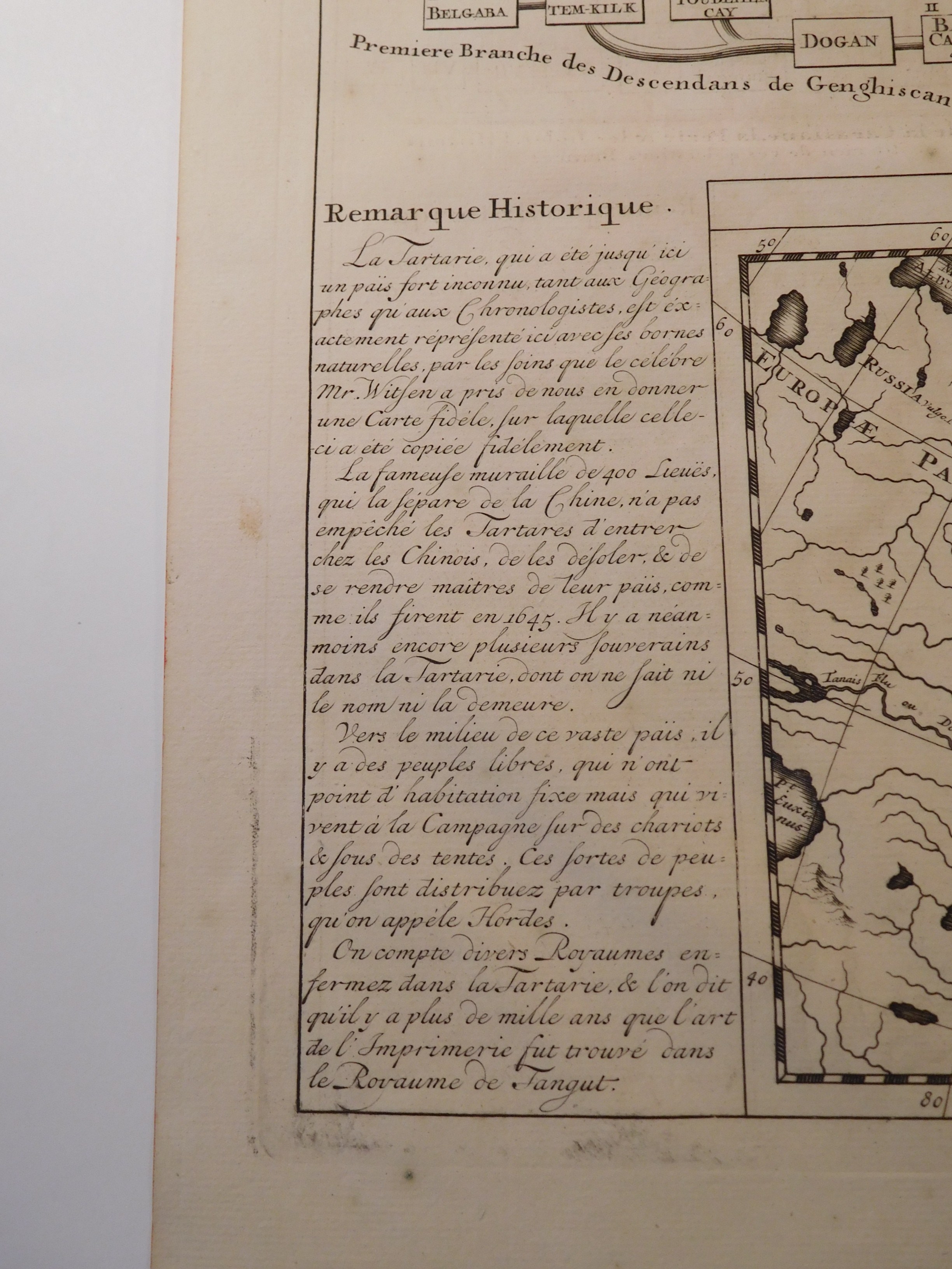
Copperplate map of the so-called Great Tartary, the area from the Caspian Sea to the Pacific Ocean, a name used in European cartographic studies from the Middle Ages to the 20th century. The name was mistakenly associated with the Mongols, who conquered one of the Asian tribes just called the Tartars, and Europeans associated with Tartary, or the land of the underworld. Today it is an area in much of Asiatic Russia. Themap comes from an atlas by famous cartographers Henri Abraham Châtelain, (1684-1743) and Nicolas Guedeville, (1652-1721), "Atlas historique" consisting of 7 folio volumes. At the top of the map a family tree of Mongol rulers from Genghis Khan onward. On the sides historical notes. Map pasted on bristol.
Piece bdb preserved, clear copperplate imprint, only a trace of folding in half; overall flawless.