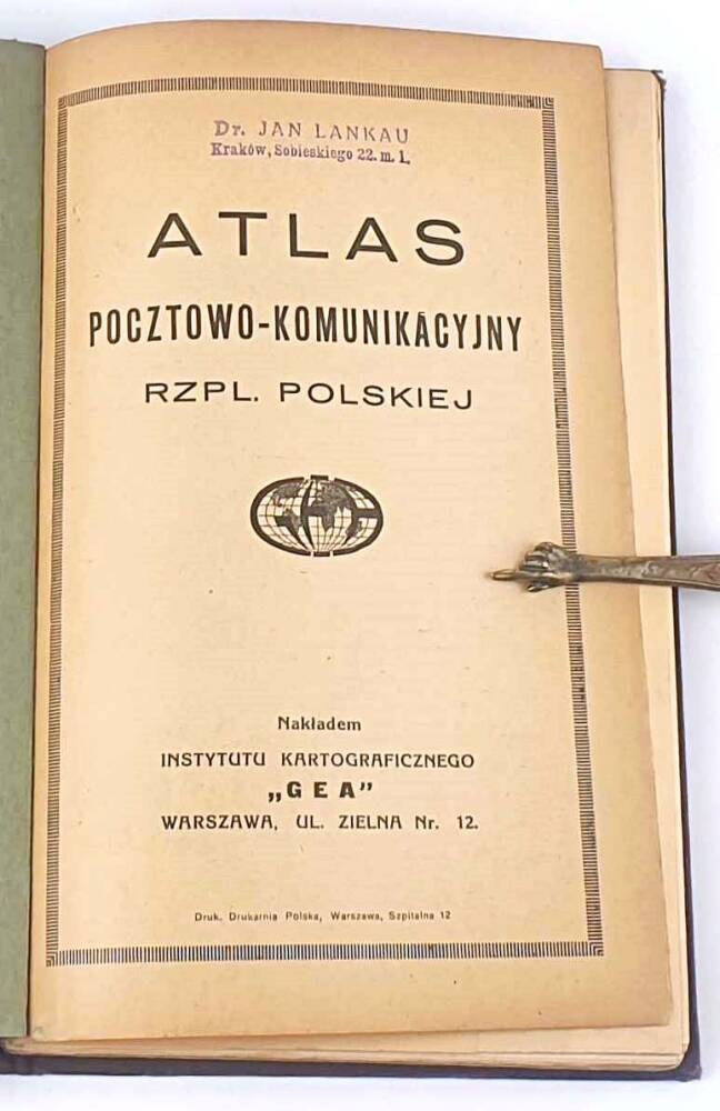
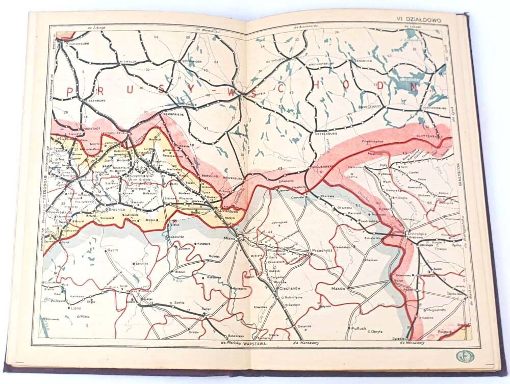
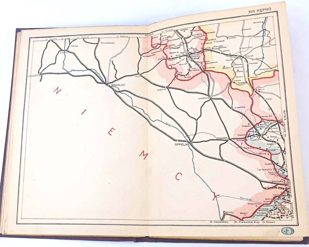
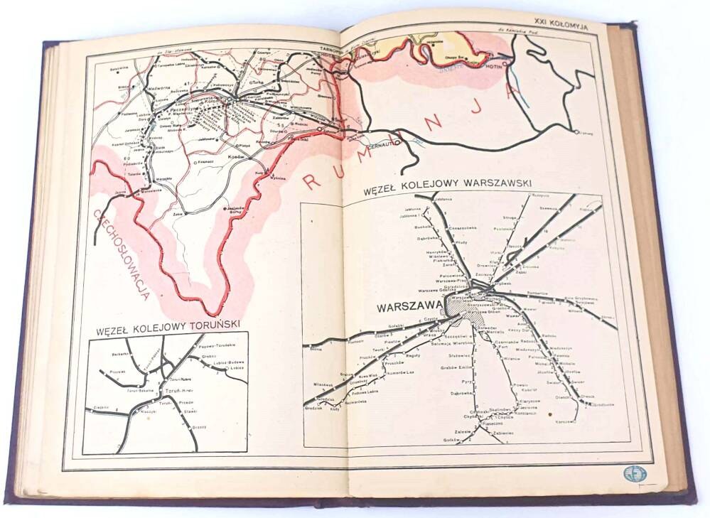
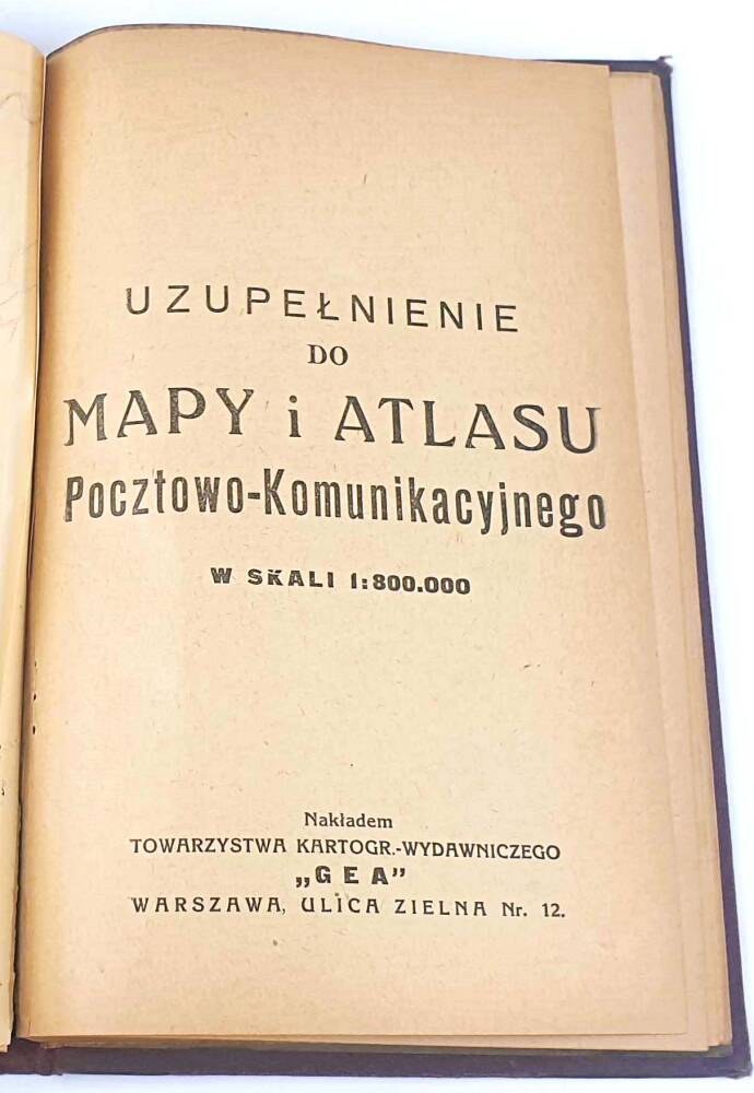

POSTAL AND COMMUNICATION ATLAS OF THE REPUBLIC OF POLAND
Warsaw 1929; GEA Cartographic Institute. Pp. 103(Supplement to the postal and communications map and atlas on a scale of 1:800000),21 fold-out maps; format 14x23 cm
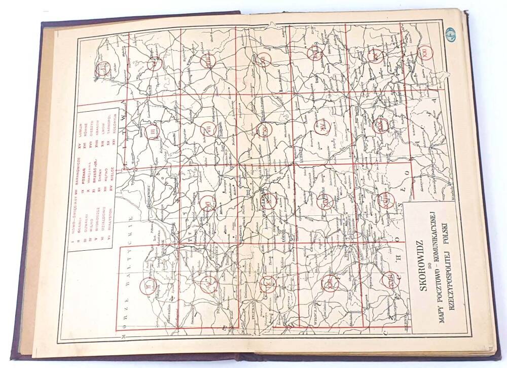
On the sheets, maps covering the districts of Vilnius, Bydgoszcz, Dzialdowo, Poznan, Bialystok, Sarny, Warsaw, Lublin, Rivne, Cieszyn, Ternopil, Lviv. The atlas is supplemented by a list of post offices and railroad stations in the territory of the Republic of Poland.
PUBLISHER'S HARDCOVER WITH GILT LETTERING
Condition DB+/ stamp on title page,minor rubbing of binding


![CEPNIK HENRYK. Ignacy Moscicki President of the Republic of Poland. Outline ia and activities. Deleted [...]...](https://img1.one.bid/img/6363/1859774_1x.webp?1713045600)
![CEPNIK HENRYK. Ignacy Moscicki President of the Republic of Poland. Outline ia and activities. Deleted [...]...](https://img1.one.bid/img/6363/1859774_2x.webp?1713045600)
![[March CONSTITUTION 1]. Constitution of the Republic of Poland. Adopted at a ceremonial session of the Sejm on the 17th of March....](https://img1.one.bid/img/6580/1879038_1x.webp?1714082400)
![[March CONSTITUTION 1]. Constitution of the Republic of Poland. Adopted at a ceremonial session of the Sejm on the 17th of March....](https://img1.one.bid/img/6580/1879038_2x.webp?1714082400)
![[March CONSTITUTION 3]. Constitution of the Republic of Poland of March 17, 1921 [...]. 3rd ed. Cracow 1948....](https://img1.one.bid/img/6580/1879040_1x.webp?1714082400)
![[March CONSTITUTION 3]. Constitution of the Republic of Poland of March 17, 1921 [...]. 3rd ed. Cracow 1948....](https://img1.one.bid/img/6580/1879040_2x.webp?1714082400)