


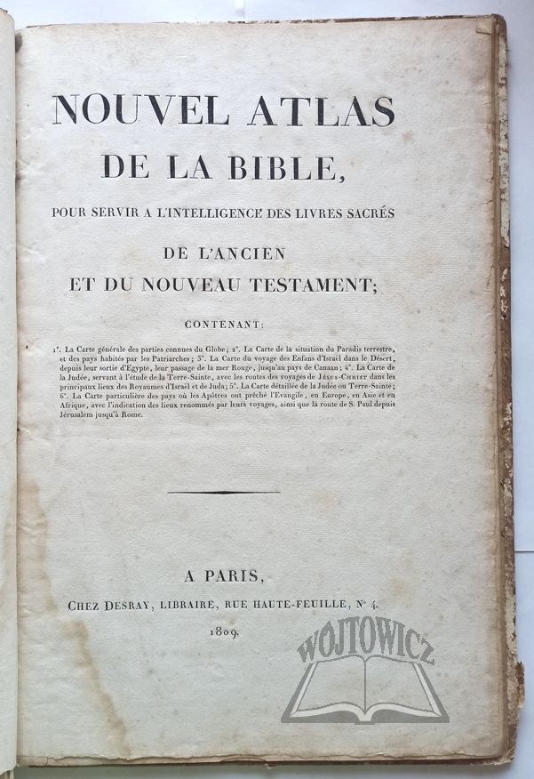

NOUVEL Atlas de la Bible,
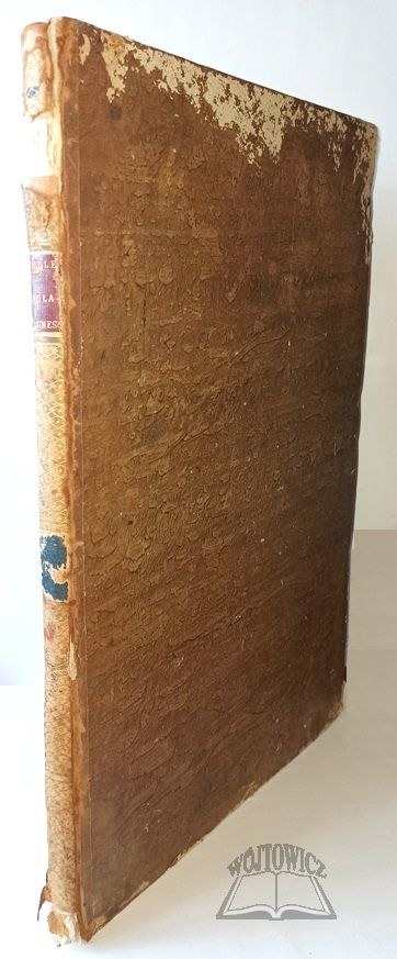
pour Servir a l'Intelligence des Livres Sacres de l'Ancien et du Nouveau Testament. Paris 1809, chez Desray. Folio, pp. [2], 6 fold maps in copperplate, period cloth binding, gilt on spine.
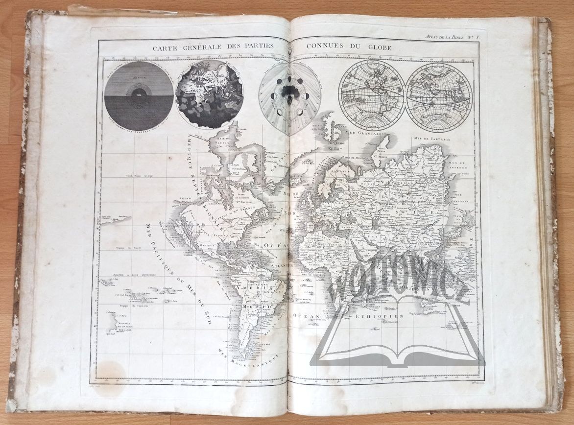
Rubbing of binding, no. losses on spine, browning and traces of flooding of pages, folds of covers. Size of maps ca. 39 x 45 cm. The maps show: 1. General map of the then known parts of the globe (large planisphere, above which are engraved 4 successive scenes describing the creation of the world: God creates day and night, the world without water, the solar system and small planiglobes); 2. Map of the situation of the Earthly Paradise and the countries inhabited by the Patriarchs (today's Syria, Lebanon, Jordan, Israel, Iraq, part of Arabia and Iran); 3. The Exodus of the Israelites from Egypt to Canaan; 4. Map of the Holy Land, useful for studying the New Testament; 5. Map of the Holy Land divided into the 12 tribes of Israel, with Jesus' wanderings marked; 6. Detailed map of the places where the Apostles preached the Gospel (from Jerusalem to Rome). Rare.


![MAUROIS Andre - Ariel ou la vie de Shelley - Paris 1929 [woodcuts by Konstantin Brandel].](https://img1.one.bid/img/6265/1874696_1x.webp?1713823200)
![MAUROIS Andre - Ariel ou la vie de Shelley - Paris 1929 [woodcuts by Konstantin Brandel].](https://img1.one.bid/img/6265/1874696_2x.webp?1713823200)


Recently viewed
Please log in to see lots list
Favourites
Please log in to see lots list