


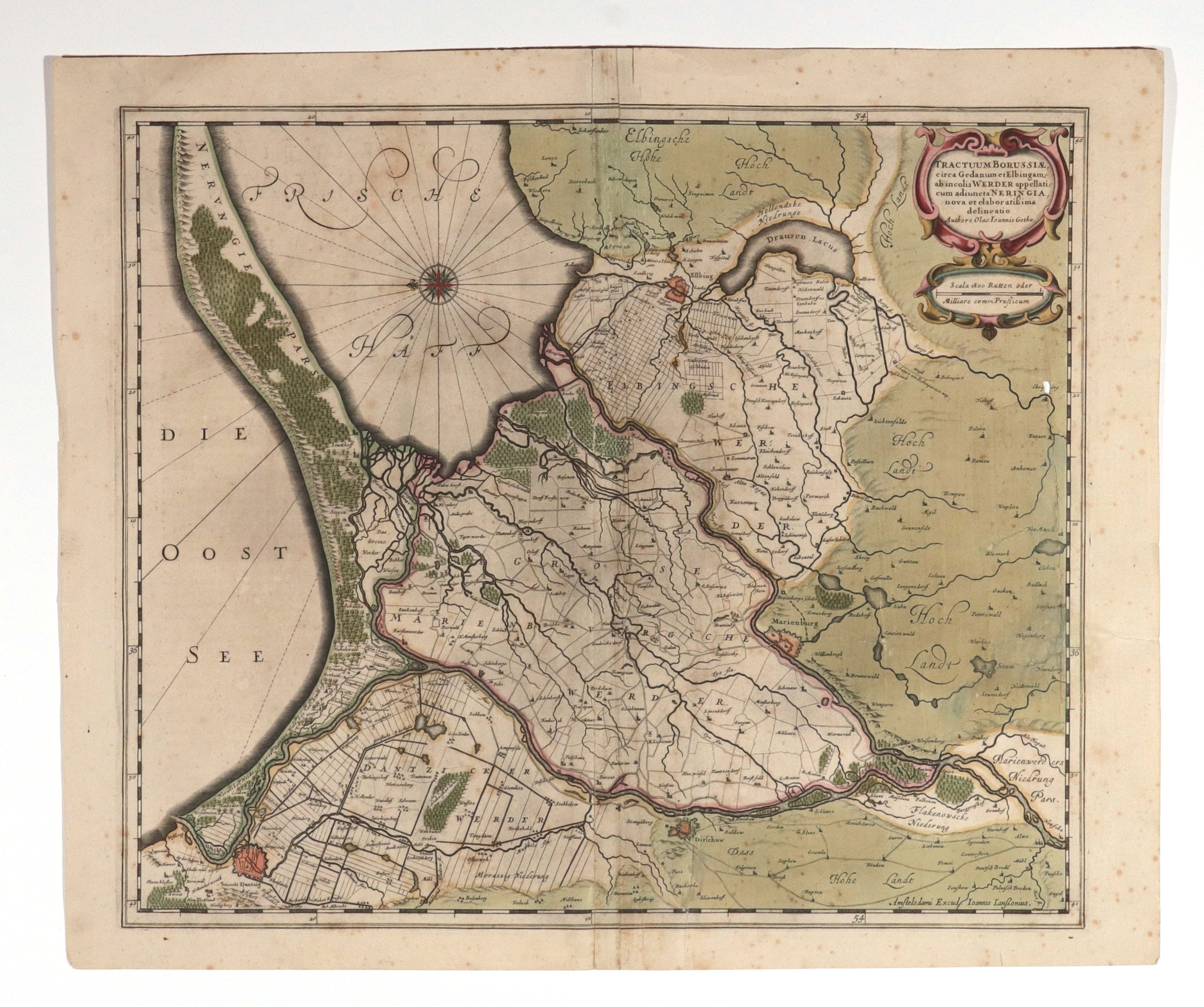
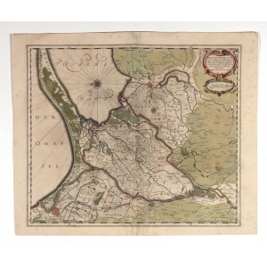
ROYAL PRUSSIA, ¯U³AWY WI¶LANE, GDANSK, ELBLĄG. Map of the Vistula Zulawy with schematic plans of Danzig, Malbork, Tczew and Elblag; compiled. for military purposes by the Swedish military cartographer Olaus Johannes Gothus (Olaf Hanson Svart) during the Thirty Years' War; published by J. Janssonius, Amsterdam 1641; eastern orientation, above lower frame publisher's note: Amstelodami Excud. Ioannes Ianβonius, on verso text in Latin: DESCRIPTIO TRIVMINSVLARVM Germanice WERDER In DUCATU BORUSSIAE; copper. color, st. word/db, rust spots, edge tears, paper loss and cracks; plate dimensions 490x415 mm; TRACTUUM BORUSSIAE, circa Gedanum et Elbingam ab in colis WERDER appellati [...].


Recently viewed
Please log in to see lots list
Favourites
Please log in to see lots list