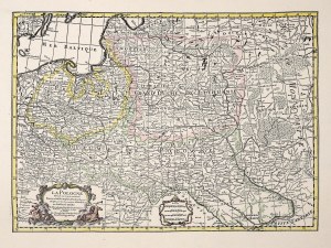
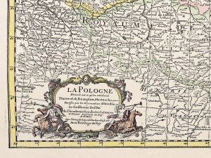
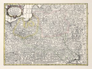
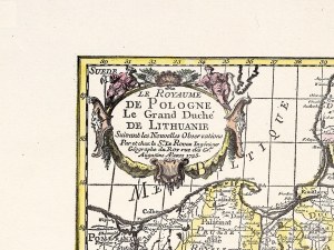
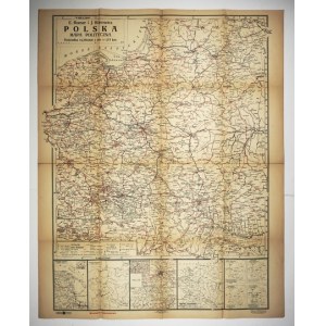
[POLAND]. Poland. Political map. Color map form. 89.2x65.4 cm.
Map of Poland compiled by Eugeniusz Romer and Jozef Wąsowicz, published in Lvov and Warsaw by Ksiaznica-Atlas in 1939. Title in frame in upper left corner, scale there (1:2,500,000), linear and appointed scales. In the lower left corner a legend, above it a side map of the coal district. Under the main map, 4 larger side maps (Sea, Fossil Fodder, Nationalities, Population Density) and 4 smaller ones (Roman Catholic Church, Education, Judiciary, Railway and Post Office). In the lower margin, red imprint "Provisional edition" and publishing data. Traces of folding, taped tears at folds.
Recently viewed
Please log in to see lots list
Favourites
Please log in to see lots list




![[MAP]. MAP OF POLAND 1 : 500 000. OLSZTYN. [Sheet ] 3. w-wa 1947....](https://img1.one.bid/img/6363/1859794_1x.jpg?1713045600)
