


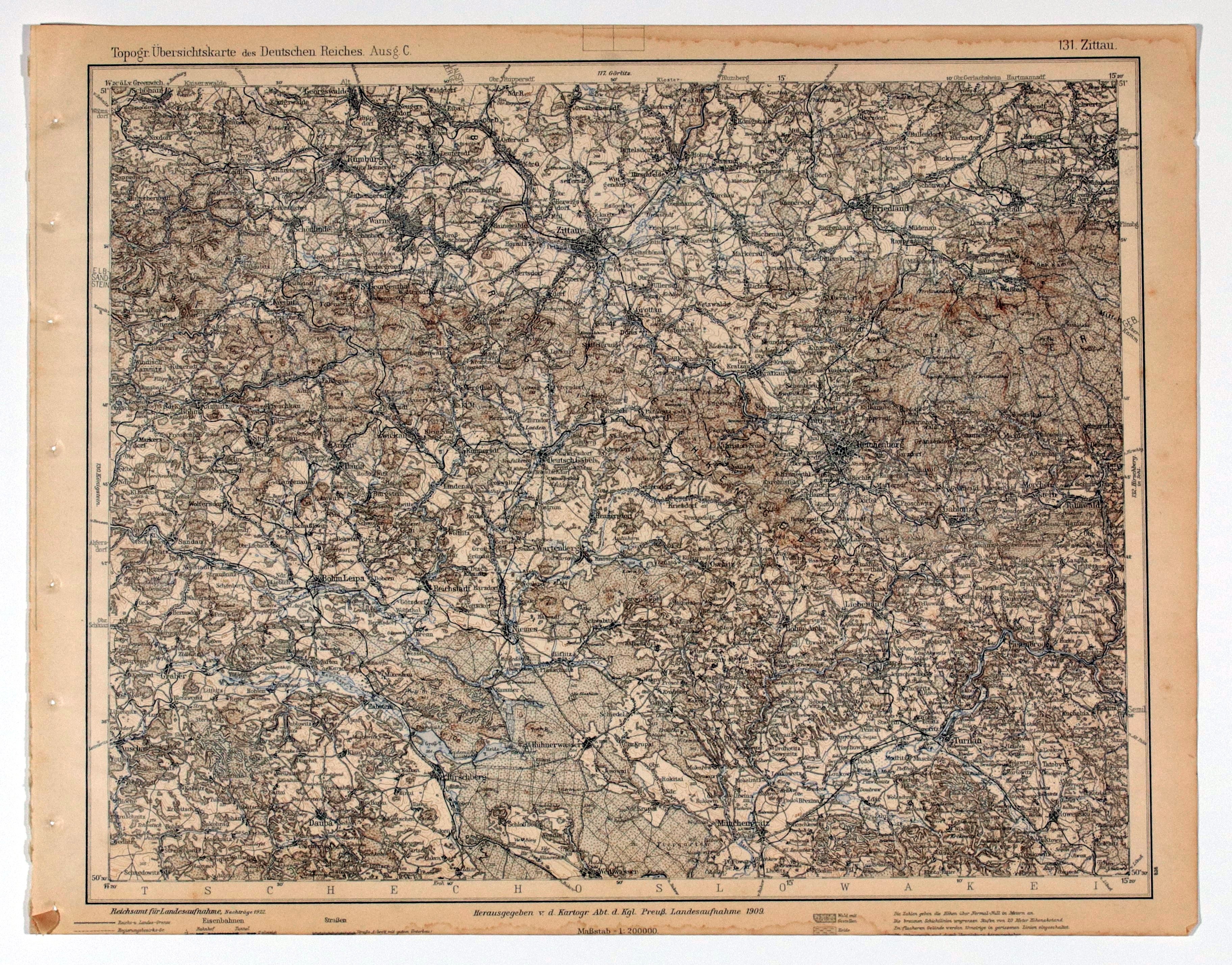
BOGATYNIA, TUROSZÓW, RYYTAWA (ZITTAU). Topographical map of the Zittau, Bogatynia and Turoszow area, taken from Topogr. Übersichtskarte des Deutschen Reiches, scale 1 : 200,000, compiled. 1909, published by Reichsamt für Landesaufnahme, 1922; bicolor; st. db., trimmed bottom, minor signs of flooding; dimensions approx. 408x318 mm; 131. Zittau.


![[MAP]. MAP OF POLAND 1 : 500 000. OLSZTYN. [Sheet ] 3. w-wa 1947....](https://img1.one.bid/img/6363/1859794_1x.webp?1713045600)


Recently viewed
Please log in to see lots list
Favourites
Please log in to see lots list