


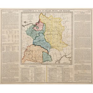
Map of Poland, Prussia and Hungary, published by J. Barfield, London 1828
epoxy colored copperplate, 31.3 x 30.6 cm (plate imprint), sheet size 45.5 x 55.5 cm
very good condition


Recently viewed
Please log in to see lots list
Favourites
Please log in to see lots list