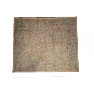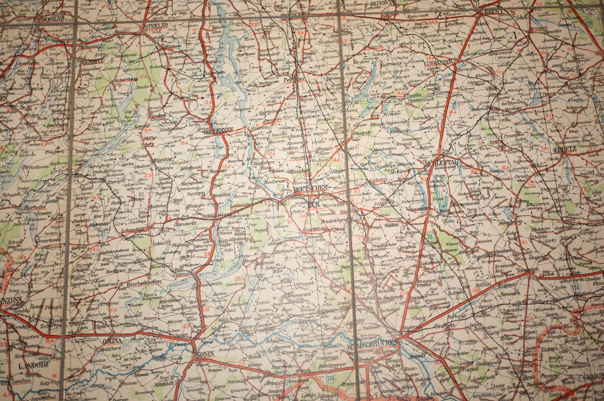


A very large map of the COUNTRY OF WARTH / Reichsgau Wartheland, published by "Continental-Sonderkarte, Kartographischen verlag der Continental Caoutchouc-Compagnie G.m.b.H., Hannover, issued October 1941, scale 1:300.000
map covers areas from Pila [in the north], Lowicz [in the east], Wroclaw [in the south], and Legnica, Glogow, Zbaszyn [in the west]
map on canvas, very good condition


![SROKOWSKI Stanisław - Prusy Wschodnie. The country and the people. Warsaw 1929. books. F. Hoesick. 8, s. 189, [2]. Opr. wsp....](https://img1.one.bid/img/5482/1898875_1x.webp?1715292000)
![SROKOWSKI Stanisław - Prusy Wschodnie. The country and the people. Warsaw 1929. books. F. Hoesick. 8, s. 189, [2]. Opr. wsp....](https://img1.one.bid/img/5482/1898875_2x.webp?1715292000)


![Great Britain. Country-System-Culture [Glasgow 1943].](https://img1.one.bid/img/5933/1814464_1x.webp?1710802800)
![Great Britain. Country-System-Culture [Glasgow 1943].](https://img1.one.bid/img/5933/1814464_2x.webp?1710802800)