


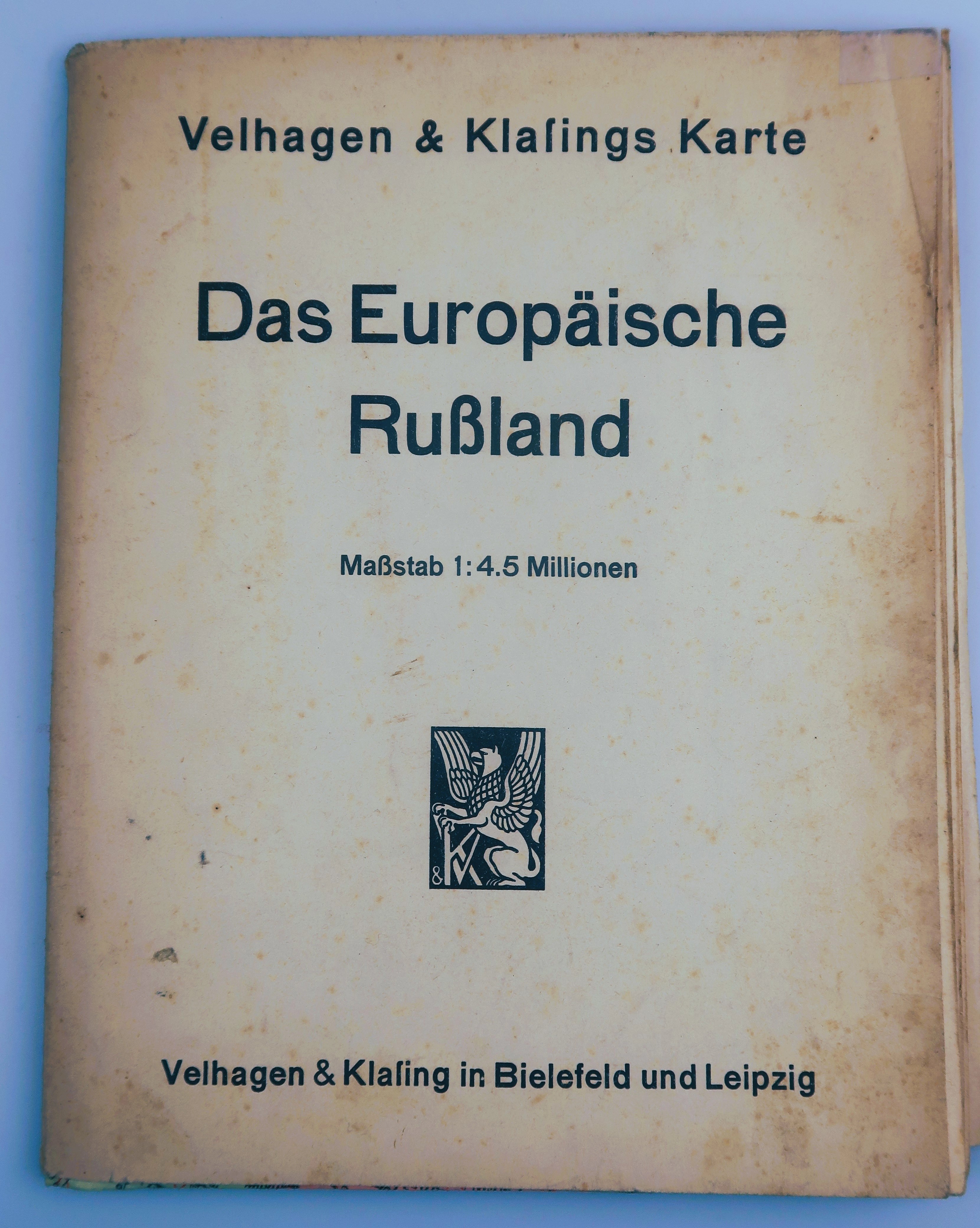


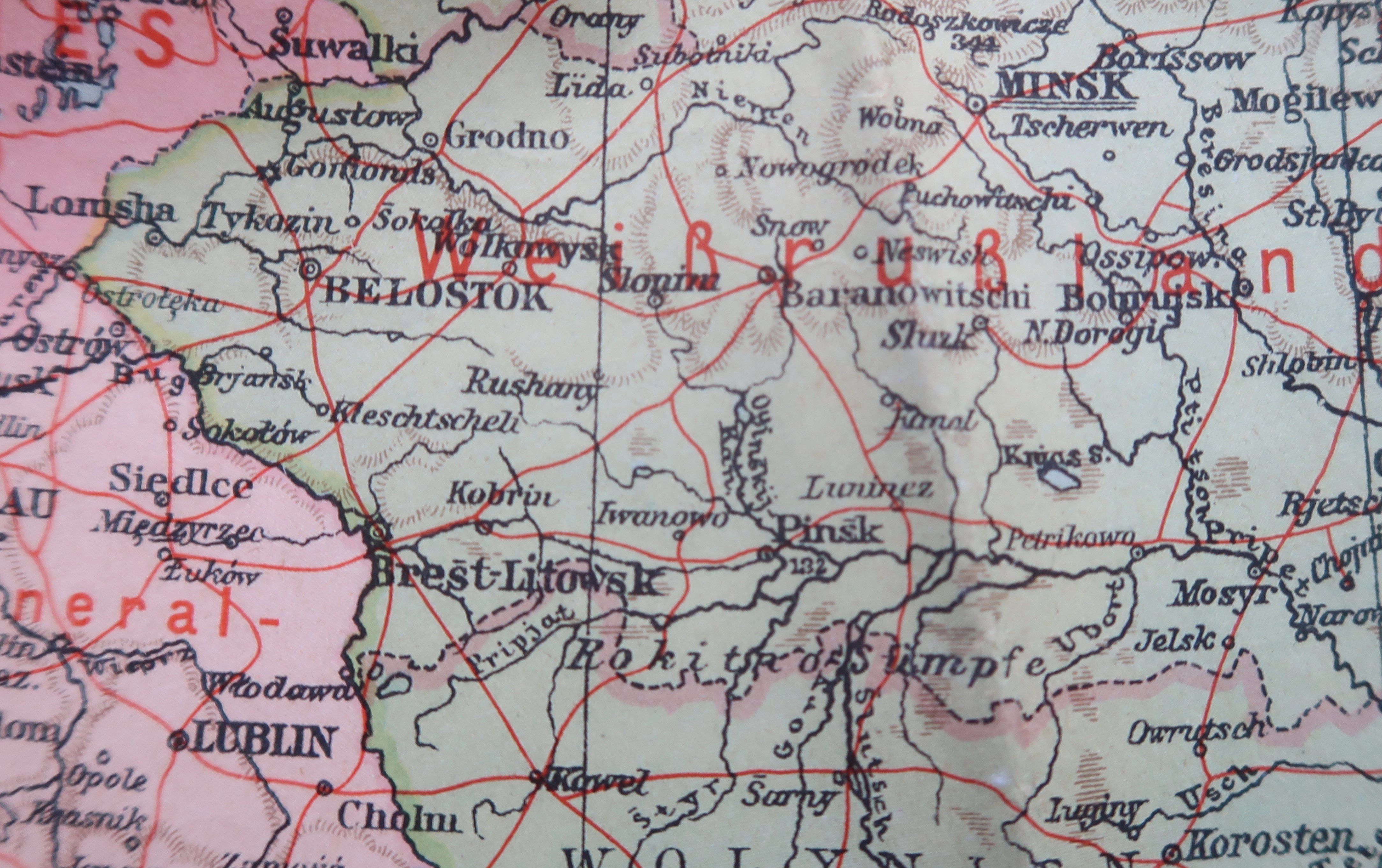
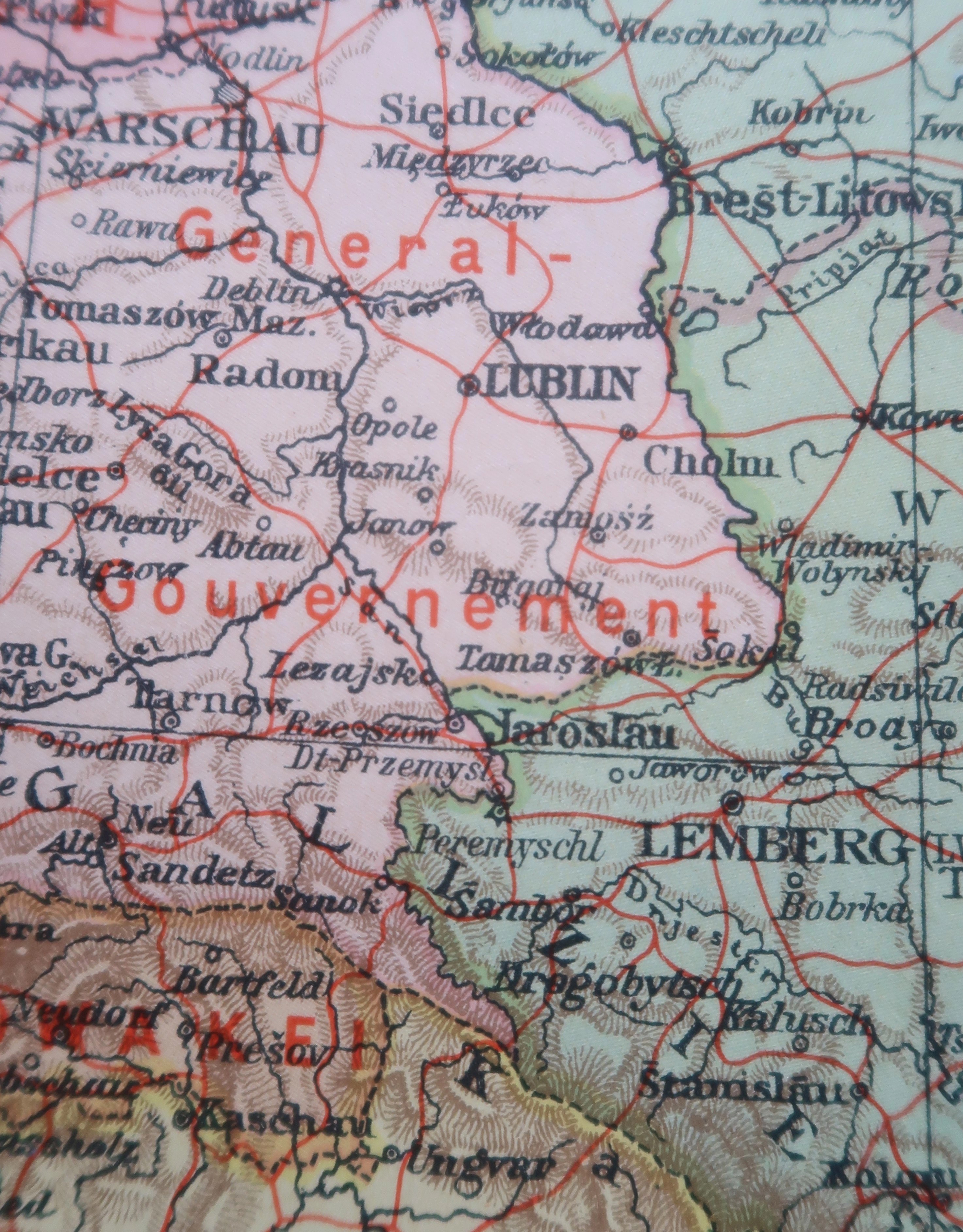
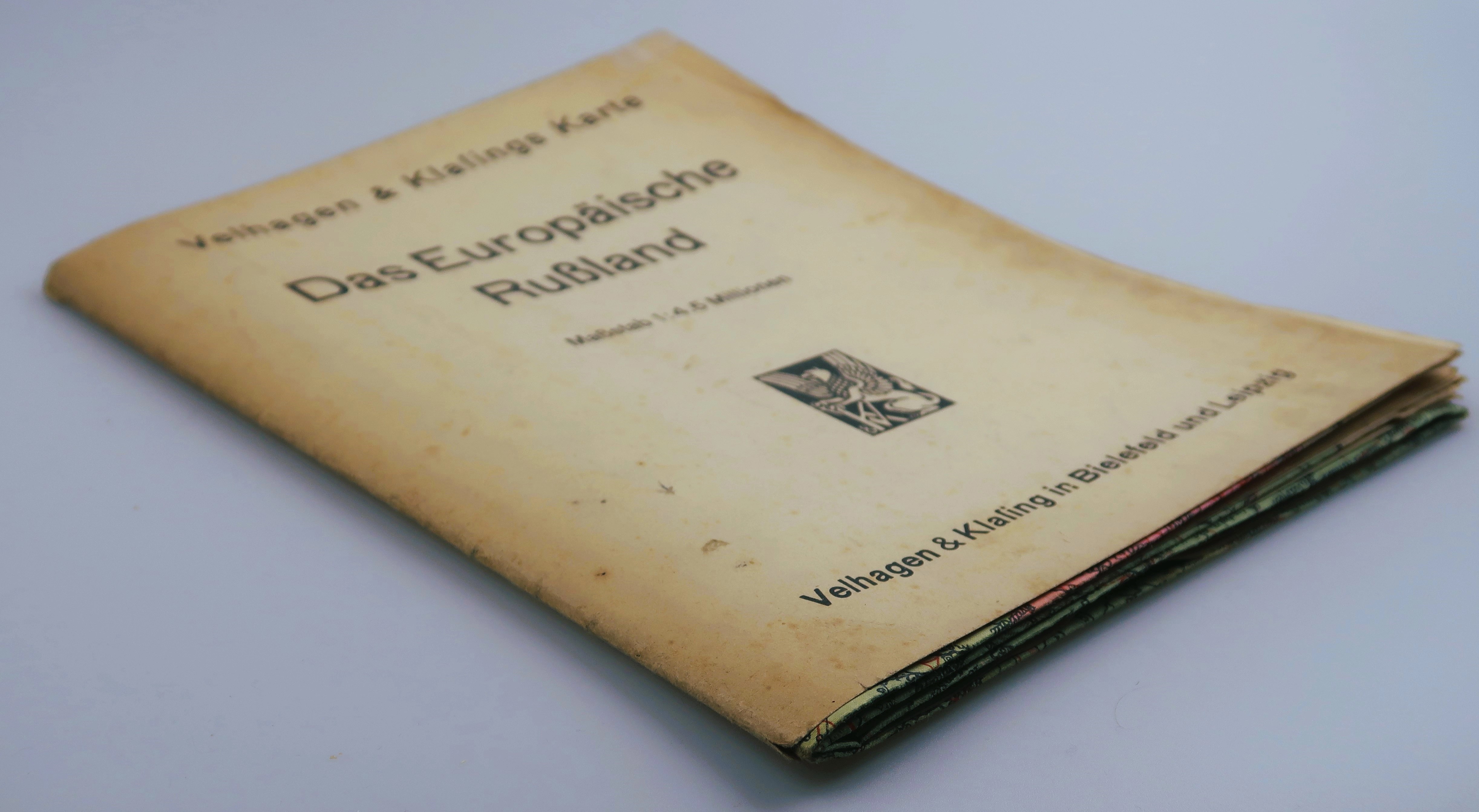

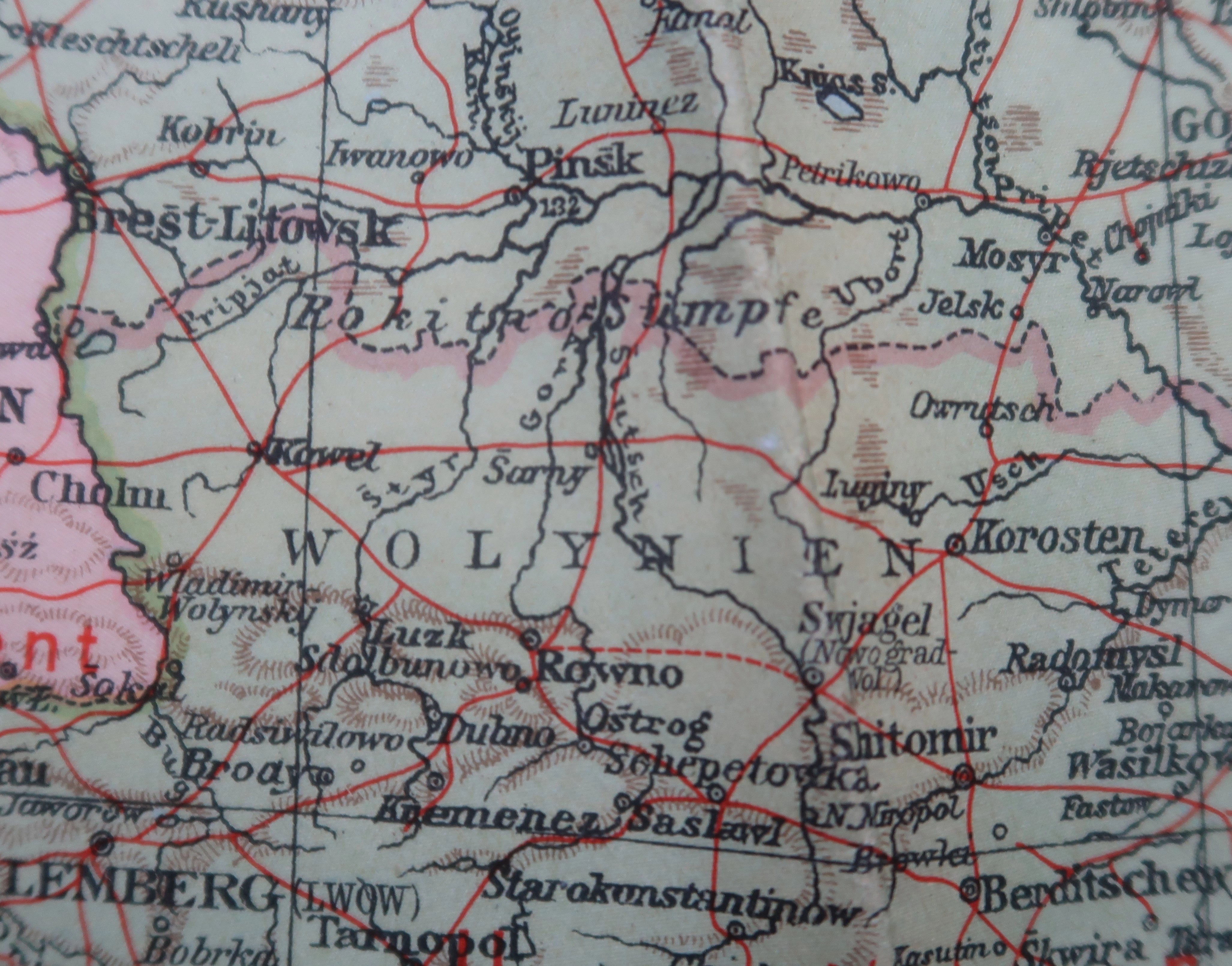


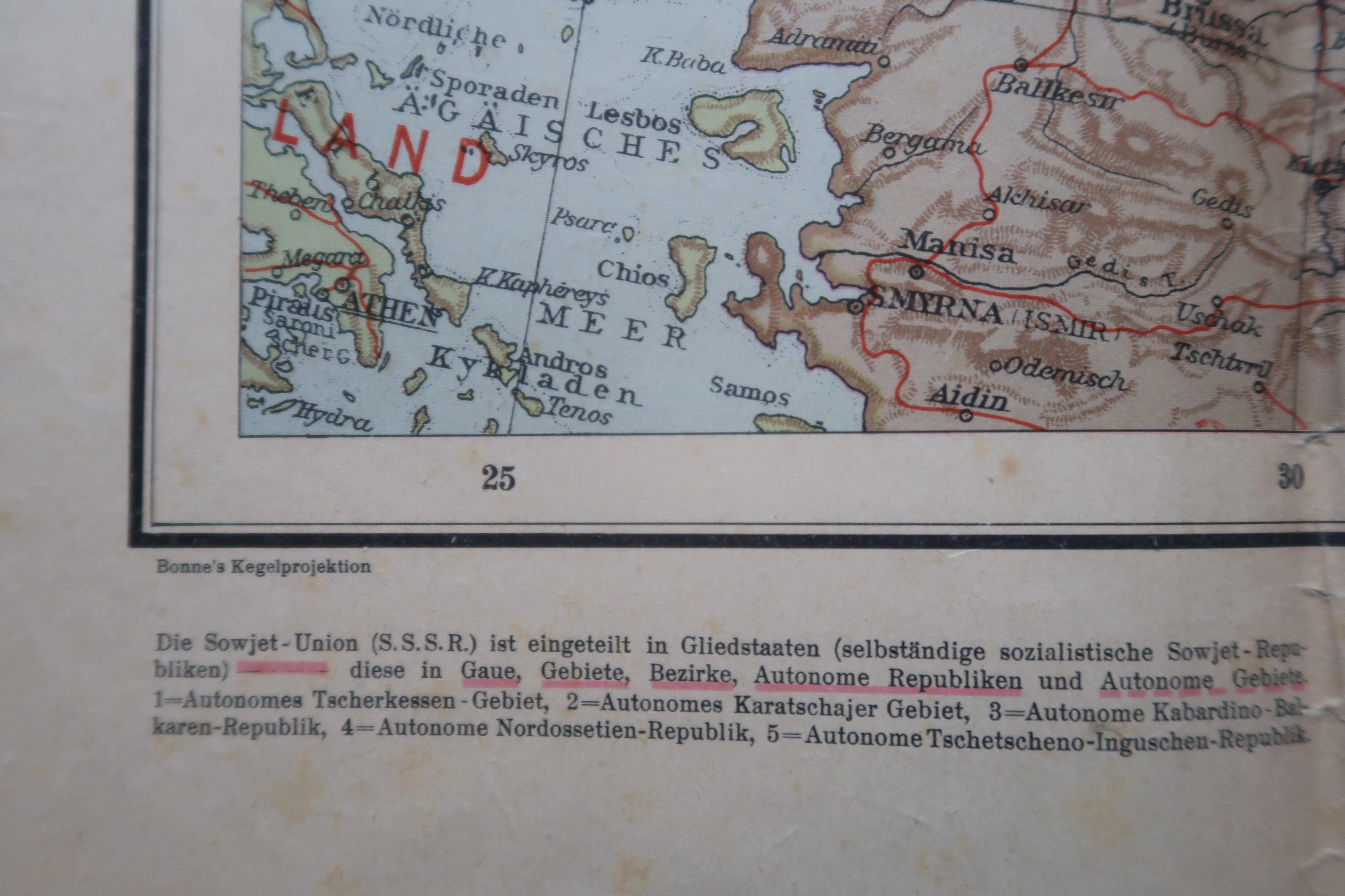
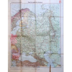
Velhagen&Klafingsin Bielefeld Leipzig. Fold-out map 80 x 102, folded 20 x 25,5, clean, one small loss at bottom of map, a few underlinings and tears on folds.
World War II-era map showing the European part of Russia, also covering the entire territory of the General Government.


![[LE PRINCE J.-B.N.] Coppersmiths. MODA. Set of 6 engravings on handmade paper depicting 18th century clothing [Siberia, Kamchatka, Russia].](https://img1.one.bid/img/6508/1873714_1x.webp?1713823200)
![[LE PRINCE J.-B.N.] Coppersmiths. MODA. Set of 6 engravings on handmade paper depicting 18th century clothing [Siberia, Kamchatka, Russia].](https://img1.one.bid/img/6508/1873714_2x.webp?1713823200)


Recently viewed
Please log in to see lots list
Favourites
Please log in to see lots list