


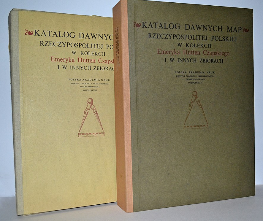

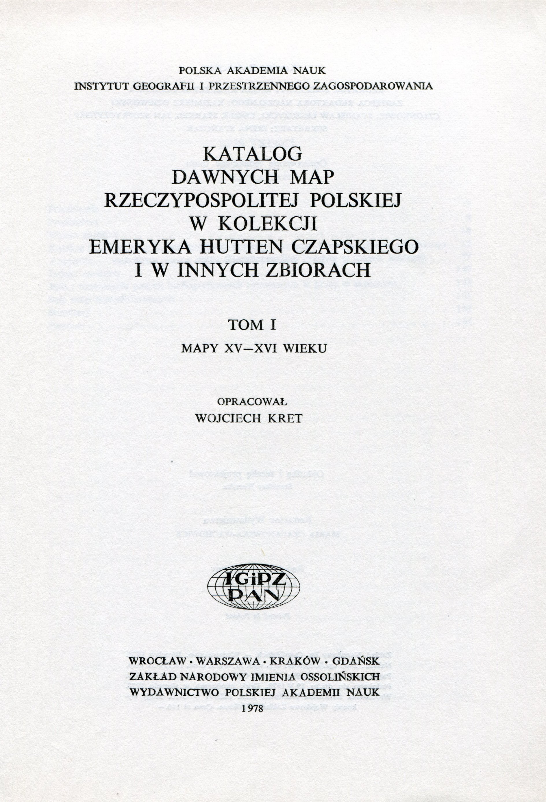


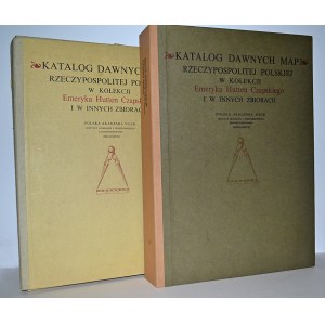
CATALOGUE of old maps of the Republic of Poland in the collection of Emeryk Hutten Czapski and in other collections. Vol. 1, Maps of the XV-XVI century / compiled by. Wojciech Kret. Vol. 2, Maps of the 17th century / compiled by. Teresa Paćko, Danuta Stachnal- Talanda, Ewa Gołąb-Jankowska. Wrocław 1978-1992, Zakład Narodowy im. Ossolińskich - Wyd. PAN. 33 cm, p. 164, f. tabl. rozkł. 37 with maps ; p. 250, [2], k. tabl. rozkł. 48 with maps ; opr. publ. : folders fn. POLISH ACADEMY OF SCIENCES. Institute of Geography and Spatial Planning.
Complete, more not published. Detailed catalog of the outstanding collection of Emeryk Hutten-Czapski (1897-1979), who, in exile, created a collection of 772 maps of ancient Polish lands from the 15th to the mid-19th centuries. In vol. 1 the description of the 82 oldest maps in his collection is accompanied by an Appendix, containing maps from other collections, making the catalog very representative of the early cartography of the Polish lands. Vol. 2 contains extensive descriptions of 328 maps, plans and views of cities, fortresses and battles, extensive indexes, bibliography. Most of the maps are reproduced at a scale of 1:1. In vol. 1 stamp on the inner part of the portfolio and pre-title page. Very good condition.


![[March CONSTITUTION 1]. Constitution of the Republic of Poland. Adopted at a ceremonial session of the Sejm on the 17th of March....](https://img1.one.bid/img/6580/1879038_1x.webp?1714082400)
![[March CONSTITUTION 1]. Constitution of the Republic of Poland. Adopted at a ceremonial session of the Sejm on the 17th of March....](https://img1.one.bid/img/6580/1879038_2x.webp?1714082400)
![CEPNIK HENRYK. Ignacy Moscicki President of the Republic of Poland. Outline ia and activities. Deleted [...]...](https://img1.one.bid/img/6363/1859774_1x.webp?1713045600)
![CEPNIK HENRYK. Ignacy Moscicki President of the Republic of Poland. Outline ia and activities. Deleted [...]...](https://img1.one.bid/img/6363/1859774_2x.webp?1713045600)


![[March CONSTITUTION 3]. Constitution of the Republic of Poland of March 17, 1921 [...]. 3rd ed. Cracow 1948....](https://img1.one.bid/img/6580/1879040_1x.webp?1714082400)
![[March CONSTITUTION 3]. Constitution of the Republic of Poland of March 17, 1921 [...]. 3rd ed. Cracow 1948....](https://img1.one.bid/img/6580/1879040_2x.webp?1714082400)


Recently viewed
Please log in to see lots list
Favourites
Please log in to see lots list