


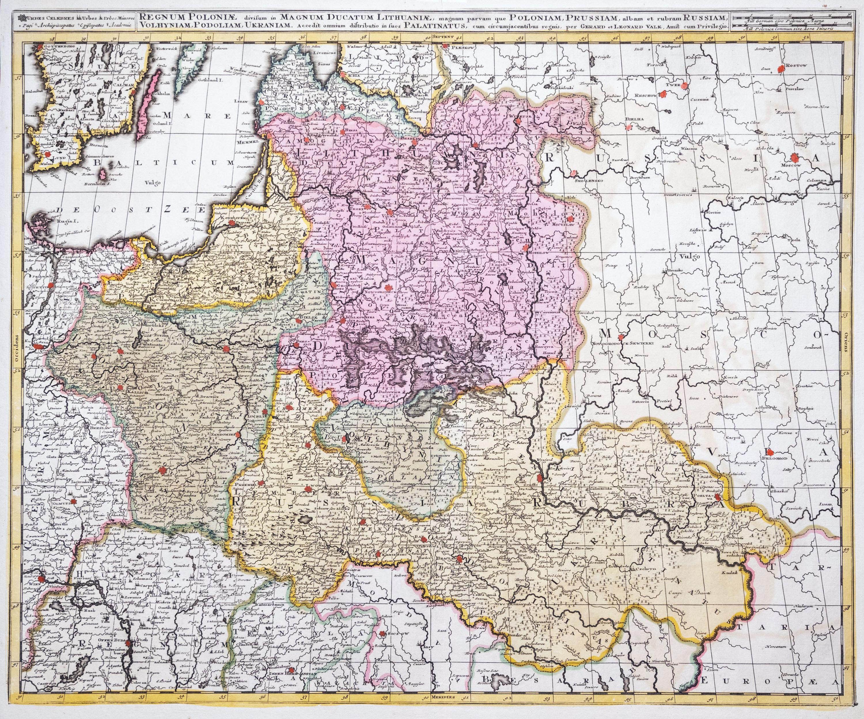
Map of the lands of the Rzeczpospolita, published by Gerard and Leonard Valck, Amsterdam, ca. 1710
copperplate engraving colored in period, 49 x 60 cm (plate imprint)
very good condition, trimmed left margin
Imago Poloniae, K11/7


Recently viewed
Please log in to see lots list
Favourites
Please log in to see lots list