


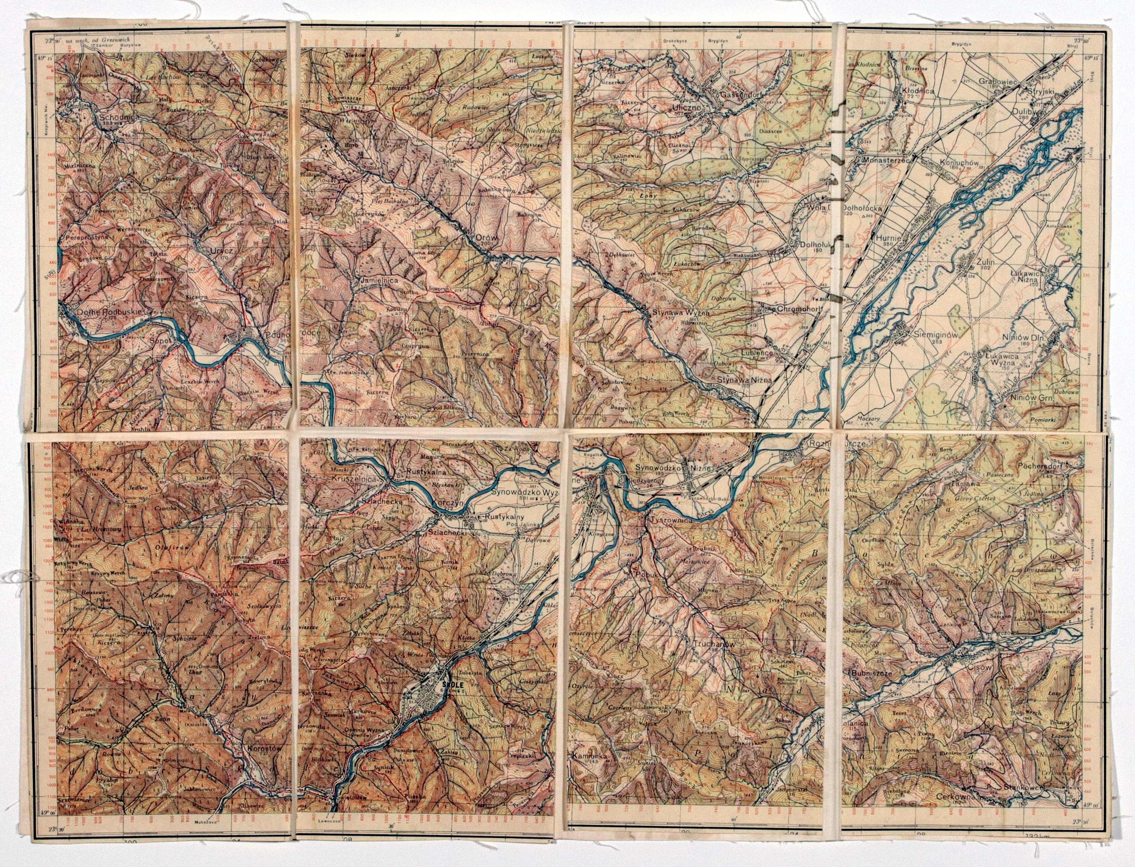
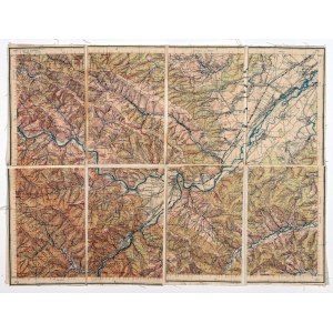
SKOLE (UKRAINE). Topographical map of the Skole area (in the Second Republic the home garrison of the KOP Skole Battalion), Uliczno in the north, Cerkowna in the south, published before 1939, in color, divided into 8 parts glued with linen; st. bdb.; dimensions ca. 402x302 mm; no tit.


Recently viewed
Please log in to see lots list
Favourites
Please log in to see lots list