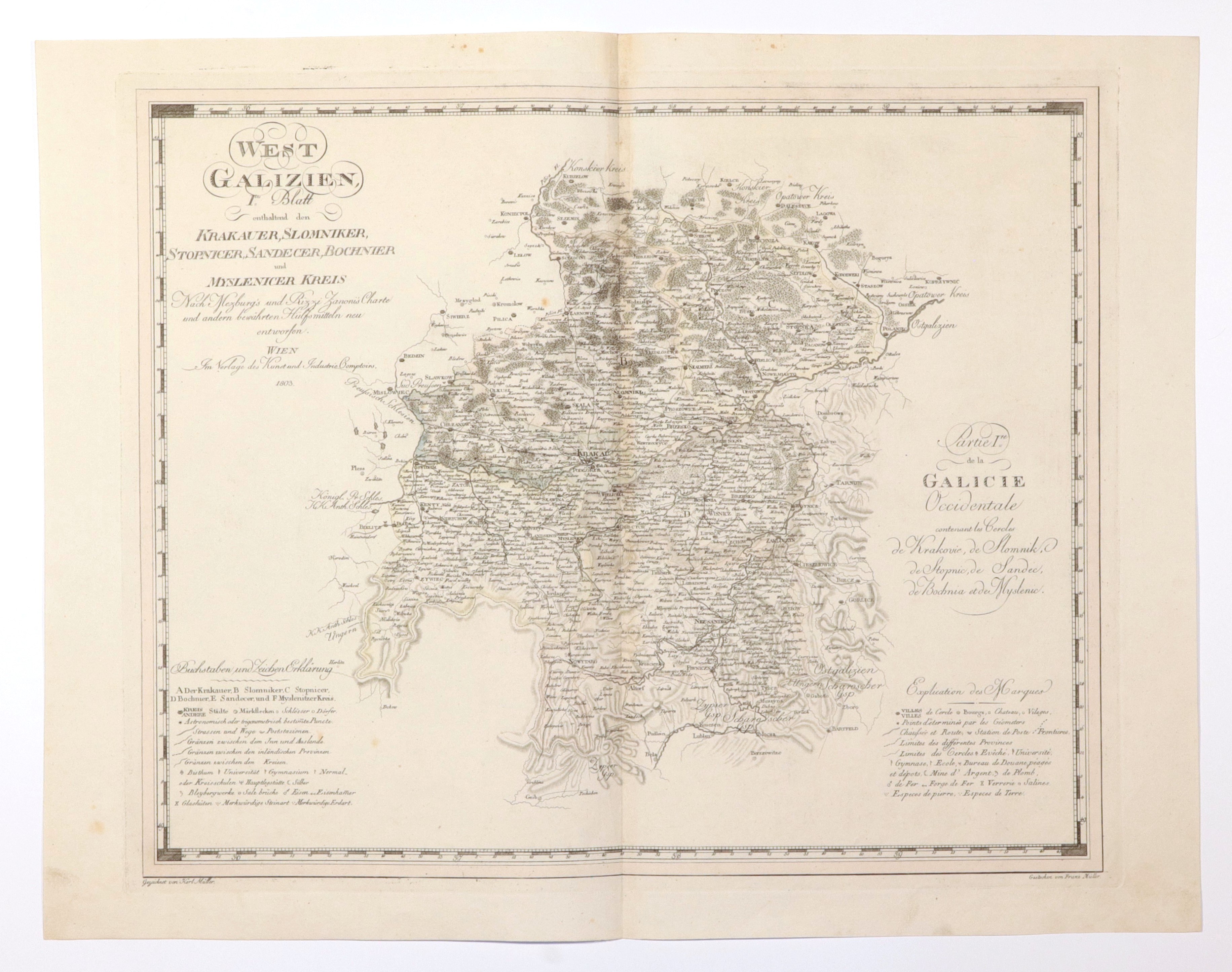
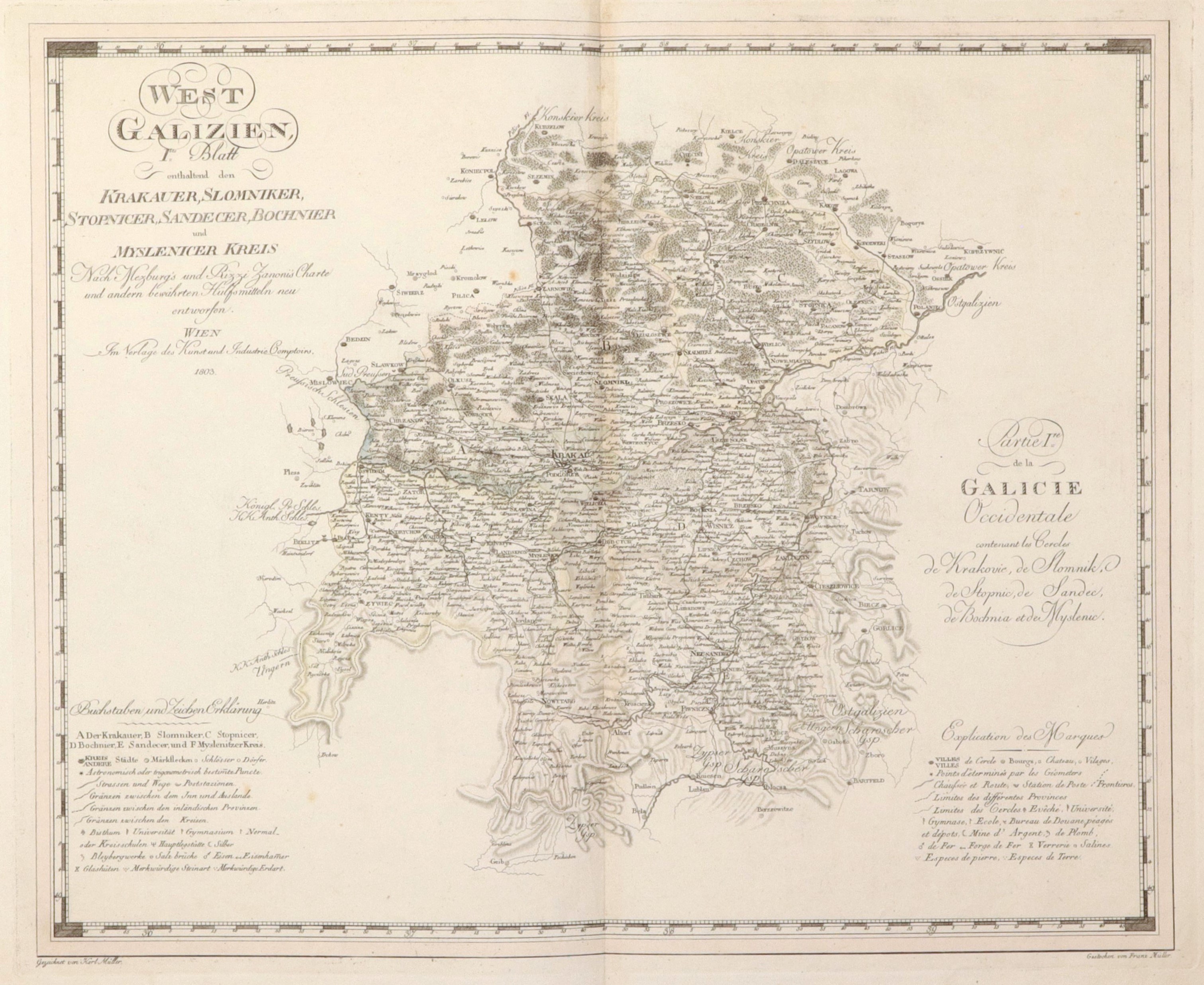
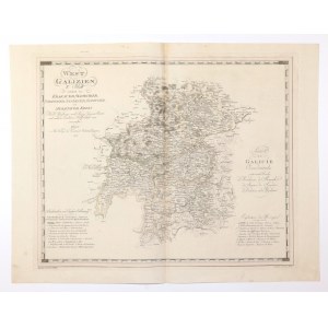
WESTERN GALICIA. Map showing the districts of Krakowski, Slomnicki and Stopnicki (as of the beginning of 1803) and the districts of Nowy Sącz, Bocheński Myślenicki, which were not part of New Galicia and were already subject to the Gubernium of Galicia in Lviv before 1803. were subordinate to the Galician Gubernium in Lvov; Western Galicia - the so-called New Galicia - a territorial division of the Polish lands seized by Austria under the Third Partition of Poland; the area belonged to Austria from 1795 to 1809; drawn by K. Müller, ryt. F. Müller, compiled. based on an earlier map by G.I. von Metzburg and G.A. Rizzi Zannoni, Vienna 1803; copper color, st. bdb, light soiling of margins; plate dimensions 610x496 mm; bilingual title: WEST GALIZIEN, Ites Blatt, enthaltend den KRAKAUER, SLOMNIKER, STOPNICER, SANDECER, BOCHNIER und MYSLENICER KREIS [...]; and Partie Ire de la GALICIE Occidentale contenant les Cercles de Krakovie, de Slomnik, de Stopnic, de Sandec, de Bochnia et de Myslenic.