


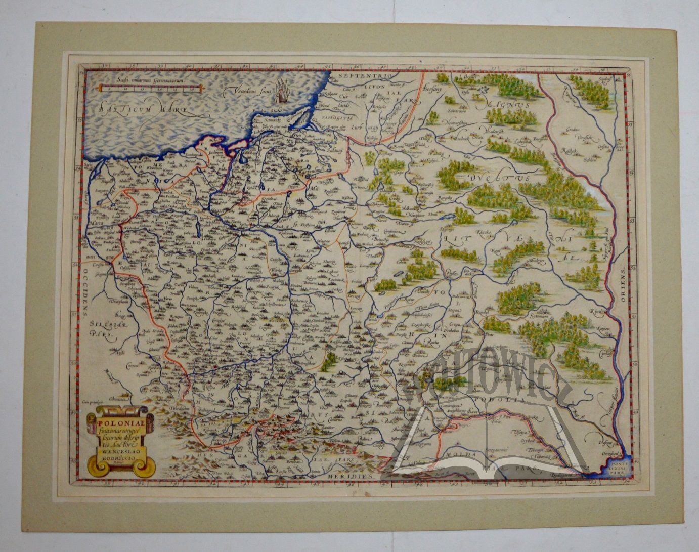
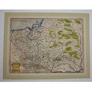
(POLAND). "Poloniae finitimarumque locorum descriptio. Auctore Wenceslao Grodeccio. Polono."
Copperplate color. Author: Waclaw Grodecki. Publisher Abracham Ortelius. After 1588. map from the atlases of A. Ortelius - Theatrum Orbis Terrarum. Format: 37 x 49.5 cm. (board: 41,5 x 55 cm).
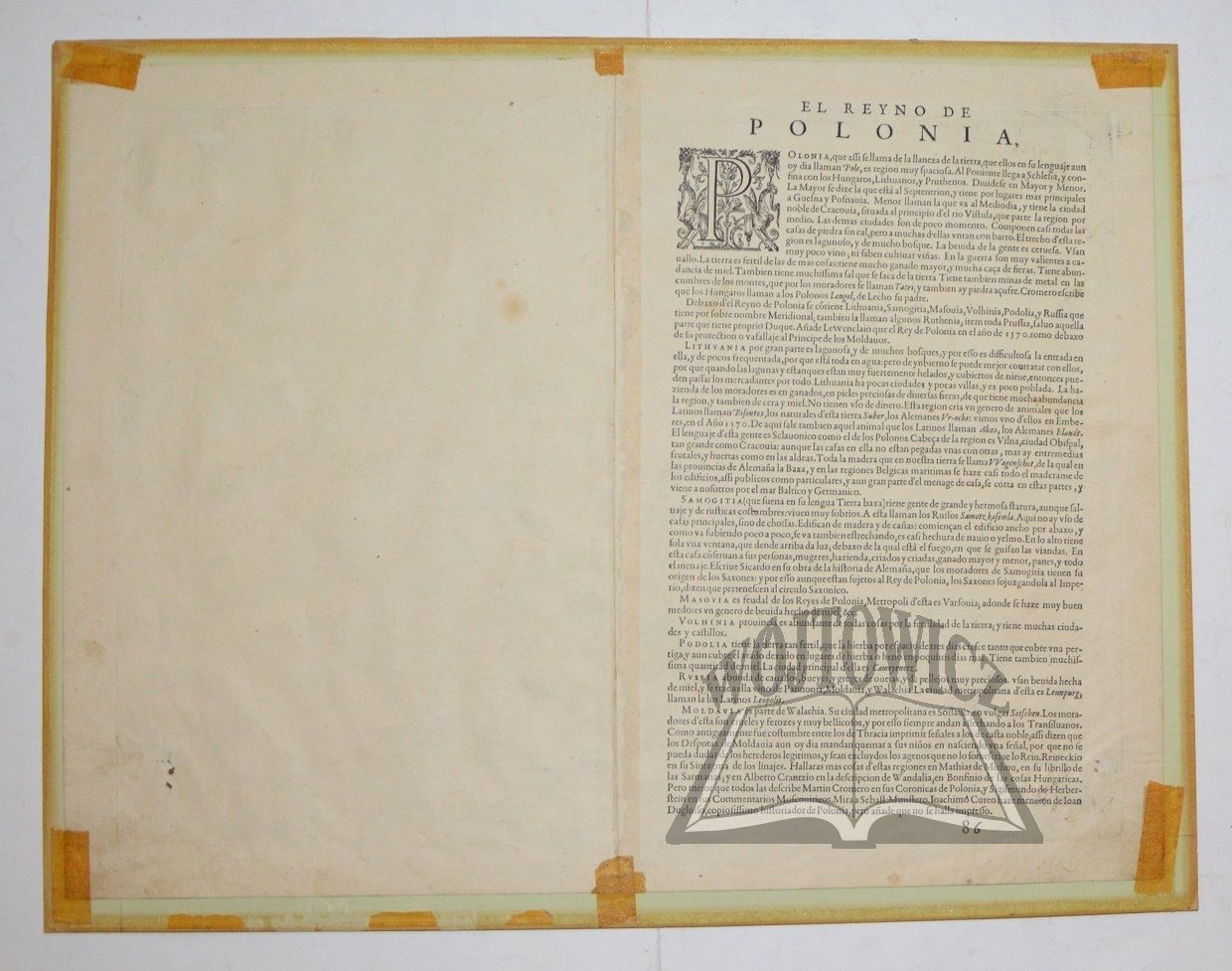
Third state of the map by Polish cartographer Waclaw Grodecki (d. 1591), included in the atlases of Abraham Ortelius (1527 - 1598), famous geographer and publisher. Decorative information cartouche in the lower left corner. On the back the text: "El Reyno de Polonia", and pagina "86". The text describes geographically (citing Martin Kromer) the lands of Poland, Lithuania, Podolia, etc. The third state of the map is marked by a change, namely the addition of the small Silesian town of Byczyna (Pitzen). Most likely the reason for this change was the battle that took place there on 24. I. 1588 between two candidates for the Polish throne, Sigismund III and Maximilian Habsburg. Good condition. (Łodyński). (Imago Poloniae K7/3). Rare.


![Poland car map. Cracow [1945].](https://img1.one.bid/img/6508/1873705_1x.webp?1713823200)
![Poland car map. Cracow [1945].](https://img1.one.bid/img/6508/1873705_2x.webp?1713823200)


![[MAP]. MAP OF POLAND 1 : 500 000. OLSZTYN. [Sheet ] 3. w-wa 1947....](https://img1.one.bid/img/6363/1859794_1x.webp?1713045600)


Recently viewed
Please log in to see lots list
Favourites
Please log in to see lots list